| Home Page |
This is a guide to the various waterways of Bristol - rivers, canals, brooks etc. - and to the craft on them, the bridges over them, and the buildings etc. on their banks.
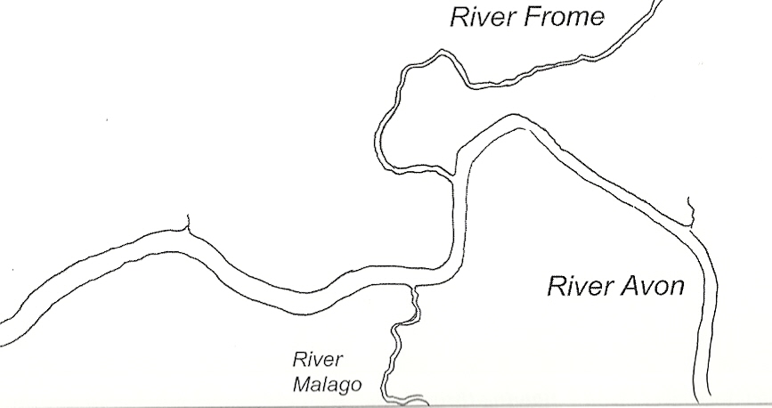
The name of the city of Bristol derives from the Old English "Brycgstow", meaning the place by the bridge; and that bridge was the lowest crossing point of the River Avon. The ancient town of Bristol grew up on high ground within a loop of the river Frome where it met the Avon just downstream from this bridge.
|
|
| Bristol waterways (originally) |
| Walks | Waterways | Features |
|---|---|---|
| Avon (upper reaches) | Avon | Craft |
| Avon New Cut | Cranes | |
| Avon (lower reaches) | Buildings | |
| Feeder Canal | Feeder Canal | Scour |
| Floating Harbour | Floating Harbour | |
| Frome | Frome | |
| Malago | Malago | |
| Trym | Trym |
There are several rivers named Avon in England - the word just means "river" in Old English, just as the related Welsh word "afon" does. The Bristol Avon rises in South Gloucestershire, flows east into Wiltshire then back through Bath, then through Bristol and meets the Severn Estuary at the appropriately-named Avonmouth. The Avon is tidal up to Bristol, and the tidal range is very great. This caused problems to shipping docking in the harbour - the ships would be grounded in the sloping mud at low tide and would heel over (causing disruption to cargo and ballast if it was not stowed carefully "shipshape and Bristol fashion"). This problem increased as ships became larger, and eventually the river was diverted through a canal (the New Cut), locks were introduced, and the Floating Harbour was built. As ships became even larger, they had difficulty sailing through the twists of the Avon and a modern dock was built at Avonmouth (followed by a modern container port on the opposite side of the Avon at Portbury).
| A walk down the upper reaches of the Avon | |
|---|---|
| You can walk along the banks of the Avon almost all the way into the centre of Bristol. As the river crosses the boundary into Bristol, just upstream of the A4174 bridge, the footpath is on the north/east side, through Conham River Park, past Crews Hole to the point where the Feeder Canal splits off. Access is difficult then until Sparke Evans Park, where the path starts up again and you can walk along to near Temple Meads station where building work causes more disruption. | |
| A weir where the Avon enters into Bristol (near Hanmham Court farm) Note: There are two pubs here, "The Old Lock and Weir" and "The Chequers". |
 00.JPG)
|
| A little downstream |
 02.JPG)
|
| The A4174 crosses the Avon |
 05.JPG)
|
| A little further downstream |
 11.JPG)
|
| The ferry between Conham River Park and Beese's Bar and Tea Gardens |
 30.JPG)
|
| Near Conham River Park (with the railway line to Paddington on the far side) |
 35.JPG)
|
| Blue bridge at St Anne's |
 40.JPG)
|
| The Feeder Canal splits off here, the Netham Lock being just round the far corner |
 50.JPG)
|
| The New Brislington Bridge at the end of St Philip's Causeway (A4320) |
 51.JPG)
|
| Netham Weir (the furthest upstream that the Avon is normally tidal) Sorry, I have taken some photos from the north, and others from the south bank. So here, it looks as if the river is flowing the wrong way (Duh!). |
 54.JPG)
|
| The footbridge by Sparke Evans Park |
 59.JPG)
|
| The roadbridge from Albert Road to the A4 (Bath Road) |
 70.JPG)
|
| The view upstream from the Albert Road railway bridge. This bridge mostly carries freight. There is pedestrian access from Victor Street, and from the Bath Road. |
 80.JPG)
|
| The Avon approaches Temple Meads (to become the New Cut) |
 95.JPG)
|
| A walk down the Avon New Cut | |
|---|---|
| On the other side of Temple Meads station you can walk along either side of the Avon New Cut, only being diverted (on the south side) at the western end of Coronation Road. There are numerous road and pedestrian bridges. This section of the river is decidedly urban. | |
| Just upstream from Temple Meads a new bridge crosses the New Cut to provide access to the new Arena |
 05.JPG) |
| The Avon leaves Temple Meads (as the New Cut) |
 09.JPG)
|
| The Bath Bridge roundabout consists of a pair of concrete bridges |
 12.JPG)
|
| View upstream from Langton Street Bridge |  19.JPG)
|
| The Langton Street footbridge was erected in 1883, as a temporary bridge, where the current Bedminster Bridge stands. It was subsequently transported on barges to its current location. Langton Street was wiped off the map in World War II. The bridge became known as the "banana bridge" because of its shape, and was subsequently painted yellow. |  20.JPG)
|
| Bedminster Bridge When the New Cut was opened, a single cast iron bridge was built here; it was called Harford's Bridge, and was made by Coalbrookdale. |  26.JPG)
|
| This was replaced in 1883 but the iron "rope" handrails were retained. |
 25 detail.JPG)
|
| A concrete bridge was built alongside in the 1960s. |
 24.JPG)
|
| On the north side, here, is Bathurst Basin. It used to be a connection between the New Cut and the Floating Harbour for small boats. The connection is now sealed, and it has become a small marina. (pictures in the Floating Harbour section) |  28.JPG)
|
| Here, on the side of the New Cut is God's Garden. Formerly a quay, it is now a grassy picnic spot. All God's creatures should, I assume, be welcome in his garden - but not dogs apparently. |  28 Gods Garden.JPG)
|
| View upstream from Gaol Ferry Bridge. Old entrance to Bathurst Basin is on the left. You can also see the ramains of the old gaol. People were hanged from this structure, but the people of Bedminster complained - they didn't have a very good view! |  29.JPG)
|
| Gaol Ferry Bridge. A tunnel under Coronation Road comes out at the bottom of the far pier, but it is now closed off. St Paul's Church, Bedminster is in the background. My grandfather's sister Blanche married a French seaman here - but I have lost track of her. |  31.JPG)
|
| The Malago Interceptor discharges its waters here. See the separate Malago walk for a picture of its start. |  35.JPG)
|
| Vauxhall Bridge used to swing (from the pier on the left). The "chocolate path" is on the righ. |  39.JPG)
|
| Downstream of Vauxhall Bridge. A Bonded Warehouse (for tobacco) is in the distance, the "chocolate path" and the harbour railway is on the right. |  45.JPG)
|
| About here (opposite Underfall Yard) the New Cut rejoins the original course of the Avon. | |
| A walk down the lower reaches of the Avon | |
|---|---|
| Beyond Cumberland Basin you can either walk along the Portway all the way to Avonmouth, or along the old towpath all the way to Pill. You can cross the Avon at Cumberland Basin by means of the lock gates, but past there there is no pedestrian crossing apart from the steep climb up to the Suspension Bridge. To the northwest of Pill you can explore the coastal grazing marshes, if you have good footwear, almost as far as the M5 bridge (watch out for ground-nesting birds). But access to the river at Portbury is not possible. Similarly, at Avonmouth, the river is always on the wrong side of the port or commercial buildings. There is a path from The Lamplighters at Shirehampton, but it only goes so far. | |
| Ashton Avenue Bridge. Bonded warehouses in the distance. This used to be a swing bridge, the nearer stonework supporting the pivot. |  00.JPG)
|
| A3029 (Brunel Way) Bridge crosses the Avon Beyond the bonded warehouse it crosses Cumberland Basin, and is a large swingbridge (see Floating Harbour section for photo). |  09.JPG)
|
| The Avon approaches Cumberland Basin. The Clifton Suspension Bridge looms beyond; the tower on the right is being maintained. |  18.JPG)
|
| Cumberland Basin proper is beyond the Entrance Lock (on the left); Jessop's older lock is on the right |  21b.JPG)
|
| The old landing stages at Hotwells, where the pleasure steamers used to depart from, have fallen into disrepair. |  23.JPG)
|
| A view of Cumberland Basin from the Suspension Bridge The Avon is to the right of the two locks. In the foreground, the old landing stages are on the left, the "towpath" is amongst the trees on the right. |  29a.JPG)
|
| The Avon downstream from the Suspension Bridge. On the right, Bridge Valley Road climbs up to the zoo; "Seawalls" is in the distance. |  31.JPG)
|
| The Avon is very muddy at low tide. This is what the harbour used to be like. |  32.JPG)
|
| The outflow of the Northern Stormwater Interceptor. This stops Bristol getting flooded anymore. The top end of the system (the Eastville Sluices) is seen in the Frome section. |  33.JPG)
|
| Approaching Sea Mills |  42.JPG)
|
| The railway bridge crosses the Trym at Sea Mills |  44.JPG)
|
| The old Powder Store. In the olden days (with wooden ships and wooden houses) it was illegal to bring gunpowder into the port, so it was offloaded here. (The buildings behind the crane are, of course, new) |  75.JPG)
|
| The creek at Pill |  80c.JPG)
|
| The Avon approaches the M5 bridge. Avonmouth in the background. |  85.JPG)
|
| A grain silo at Avonmouth. Others, as well as a flour and oilcake mill (where I used to work), have been demolished. |  91.JPG)
|
| The Avon meets the Severn Estuary and escapes into the Bristol Channel |  99.JPG)
|
The River Frome (historically, the Froom) flows south-westerly through South Gloucestershire where it meets the Avon in the middle of Bristol. Originally it flowed around the walls of the ancient town and joined the Avon just downstream from the Bristol Bridge, a tributary of it forming the moat of the medieval Bristol castle. Its course was later changed to flow along what is now Marsh Street and, later again, it was redirected to pass through what Bristolians call "The Centre", meeting the Avon at St Augustine's Reach. It was crossed by a drawbridge roughly where Clare Street meets Broad Quay, and ships would be docked right up to what is now "Electricity House" on the corner of Quay Street and Rupert Street. In later years different parts of the river were culverted over; it now disappears underground where Wade Street passes the new Cabot Circus, reappearing next to Cascade Steps at the southern end of The Centre. The castle is long gone, but the moat still exists - almost totally undergound except for a very short stretch that disappears into the darkness at Kings Orchard, just to the southeast edge of Castle Park by some modern redbrick offices.
| A walk up the River Frome | |
|---|---|
| You can walk along the Frome from near Cabot Circus, first along streets, then along the Frome Valley Walkway (just before it goes underground again you will find a little gate - this was at the bottom of Canton Street - the street where I was born).
It surfaces again just before it gets to Eastville Park; the Walkway restarts within the park and continues with a short break for streets until Snuff Mills. From here the path continues through Oldbury Court, crossing the river at Frenchay (northern border of Bristol), until it eventually passes underneath the M4 motorway.
You can fight your way through to Winterbourne, Frampton Cotterell, Nibley, Yate and Chipping Sodbury, meeting the Cotswold Way near Badminton and its source between Doddington and Tormarton. (Take a map and refreshments if you are going to try it all in a single day - and think how you are going to get back!) It probably makes more sense to do (and view) this walk in the reverse order - i.e. go with the flow, rather than against it. | |
| The Frome disappears underneath Cabot Circus etc | 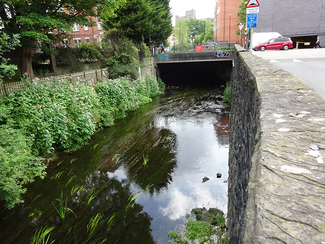 |
| The Frome flows alongside Wellington Road. | 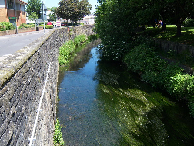 |
| It meanders a little, past some sort of storage facility. | 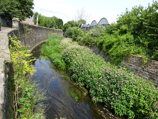 |
| A pedestrian bridge leads towards Pennywell Road. There used to be a rag and bone man site just over the bridge. | 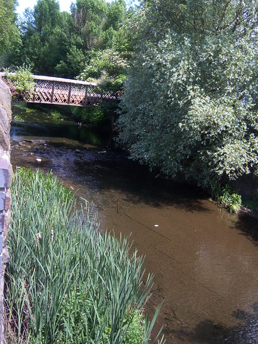 |
| This gate is all that is left of Canton Street, the street I was born in. A ladder leads down into the river but even as a child, I never had the courage to go down it. |  |
| The river exits into the sunshine after a trip under the motorway. | 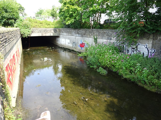 |
| The Eastville Sluices are the top part of the Northern Stormwater Interceptor that stops Bristol flooding. The exit is in the Avon, downstream from the Suspension Bridge. Just here, the Frome disappears underground for a while. | 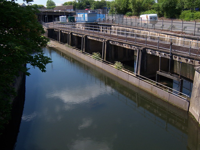 |
| Near Ikea, the banks of the Frome are reinforced by concrete struts. | 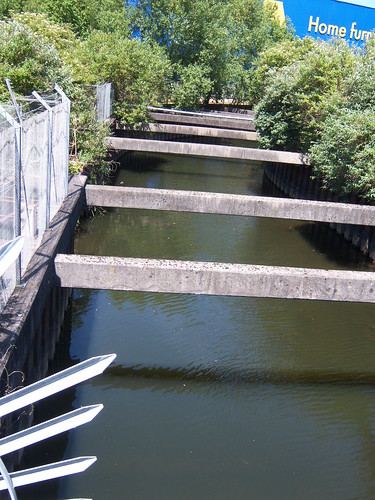 |
| The river flows directly under part of the M32 for a while - probably the haunt of druggies and the like. | 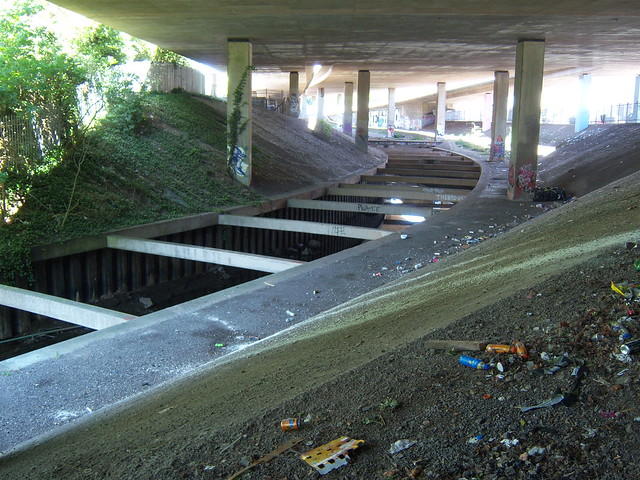 |
| The Frome leaves the pleasant surroundings of Eastville Park and is in for a shock! | 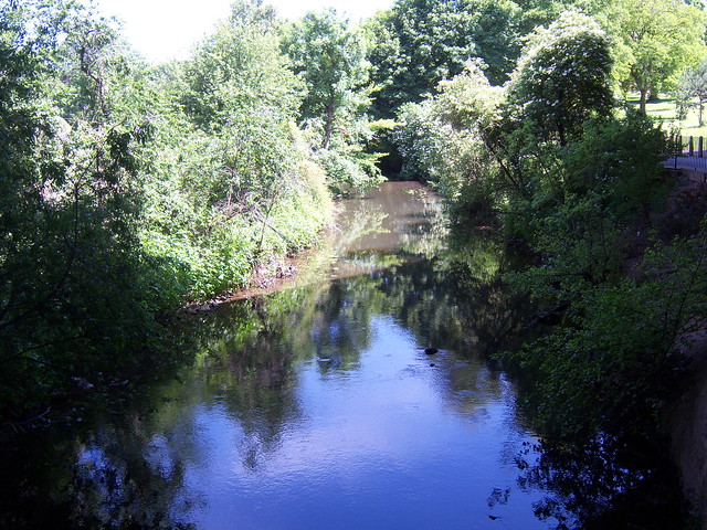 |
| The river flows sluggishly through Eastville Park, past the lake (where have the boats gone?!?) | 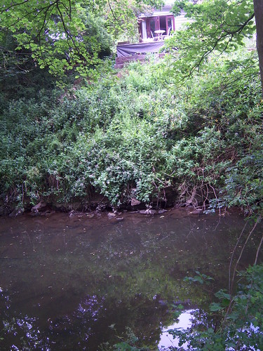 |
| There's a shady nook, by a babbling brook. | 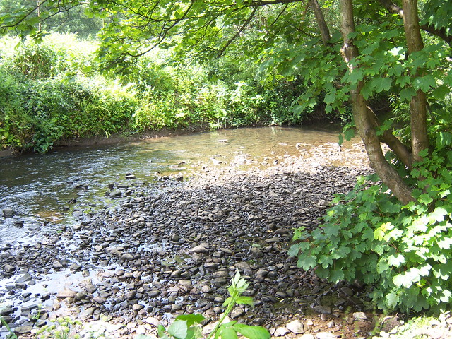 |
| The Fishponds Brook decided to join the Frome here. | 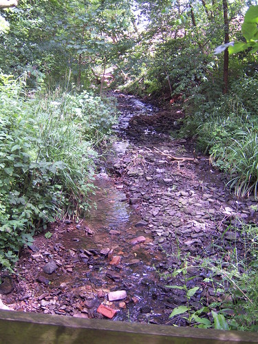 |
| The waters of the Frome tumble down Colston Weir. | 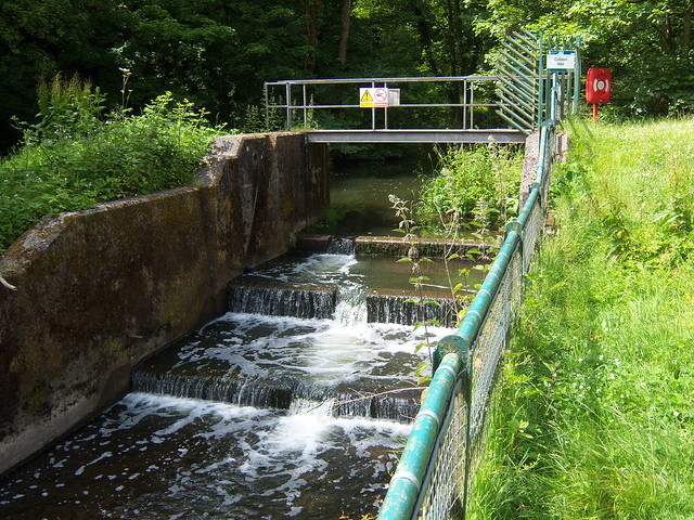 |
| The Frome Valley Walkway crosses the river (again) here. | 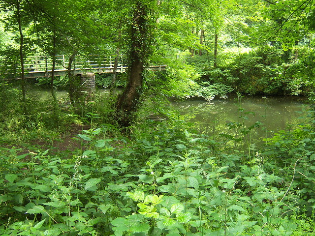 |
| The Frome Valley Walkway crosses the river (again) here. (The "again" depends on which direction you are walking) | 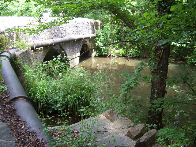 |
| The road crosses the river at Broom Hill. | 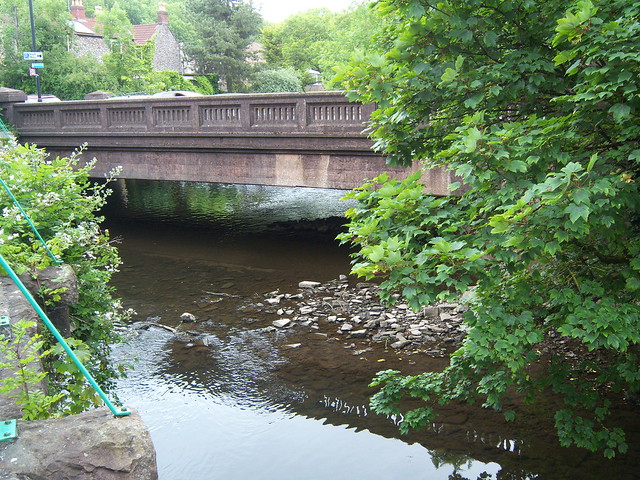 |
| The river flows past Snuff Mills. | 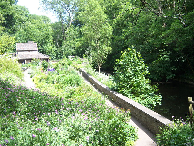 |
| It leaves Oldbury Court around here somewhere. | 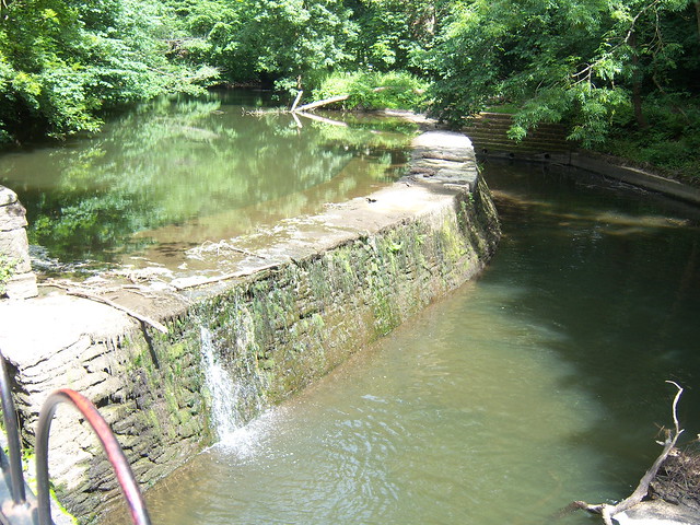 |
| It flows peacefully through Oldbury Court. | 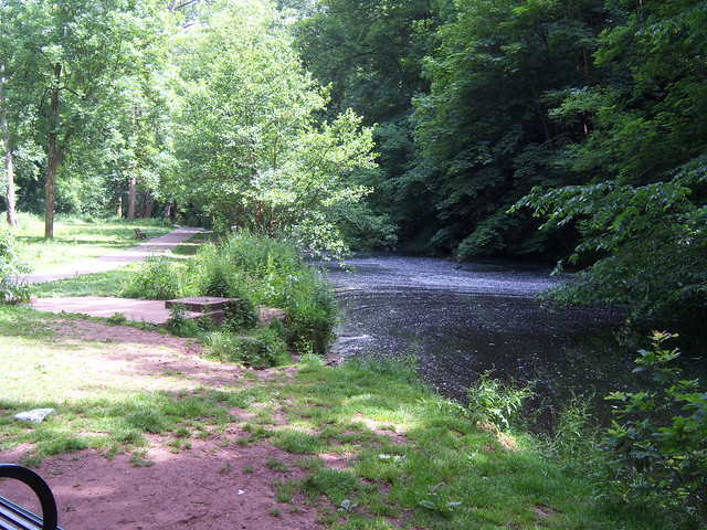 |
| We cross the bridge (again) within Oldbury Court. | 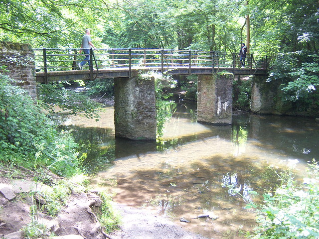 |
| I don't suppose he has caught much. | 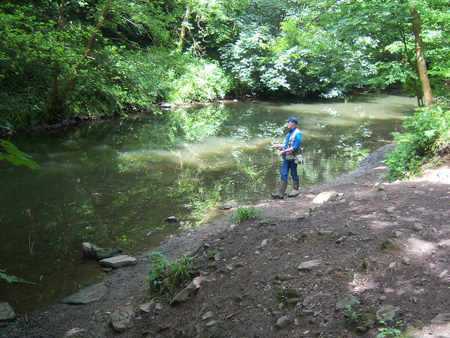 |
| There's some sort of island just here. | 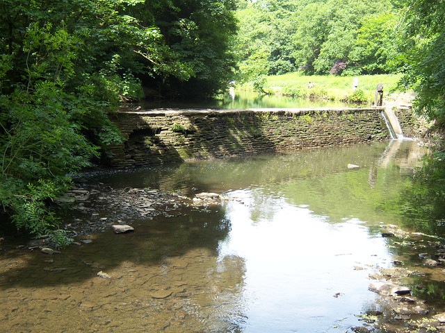 |
| Babble, babble. | 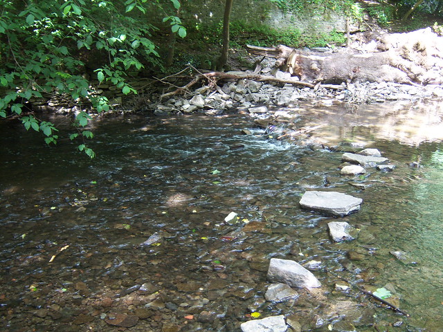 |
| This is the Frenchay Gauging Station. It measures the flow of the river. | 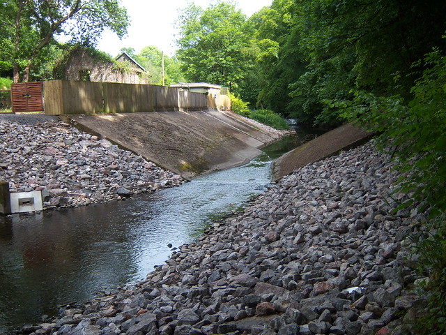 |
| A broad weir controls the river here. | 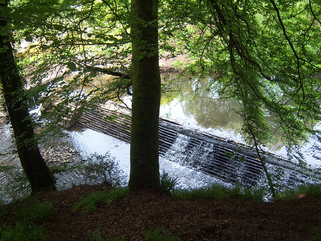 |
| The murky Frome flows through Frenchay. | 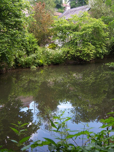 |
| Frenchay Bridge marks the end (or the beginning) of this walk. I hope you enjoyed (or will enjoy) it. | 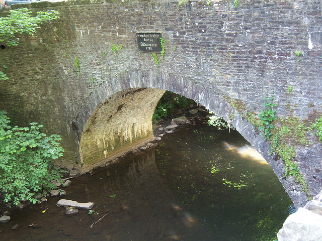 |
The Feeder Canal takes water from the River Avon at Netham Lock and joins the Floating Harbour proper near Temple Meads railway station. Apart from Netham Park at its eastern end, it is entirely commercial and industrial. From the Google Earth image, it looks like there might be some sort of connection with the Avon New Cut from the pool at the western end, but I can't get close enough to see.
| A walk along the Feeder Canal | |
|---|---|
| Feeder Road runs alongside the Feeder Canal for almost its entire length. Where the road meets Cattle Market Road there is extensive building work going on and you might get diverted. There is a grassy area near the pool at the head of the Floating Harbour - there might be hippies camping here, but they are harmless. The small stretch beyond the Netham Locks is rather overgrown. It is not the most interesting walk in the world, and you won't see much wildlife, but you can wave to the people who pass you in various sorts of boat. | |
| The Feeder Canal (on the right) is diverted from the River Avon (continues under the bridge) | 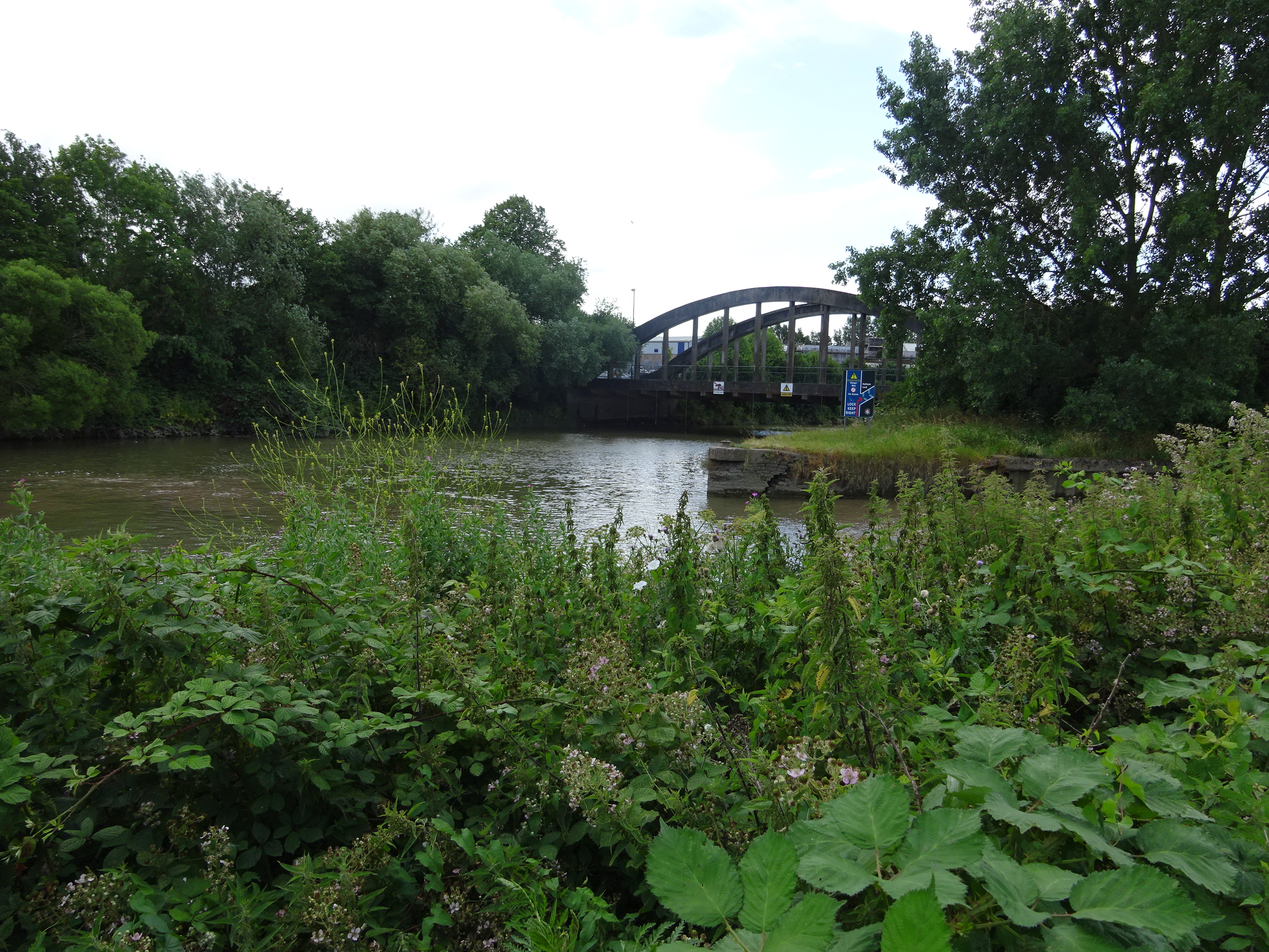 |
| Boats entering the system at Netham Lock moor here and pay the lock-keeper. During spring tides, the lock here prevents excess water entering the Floating Harbour. | 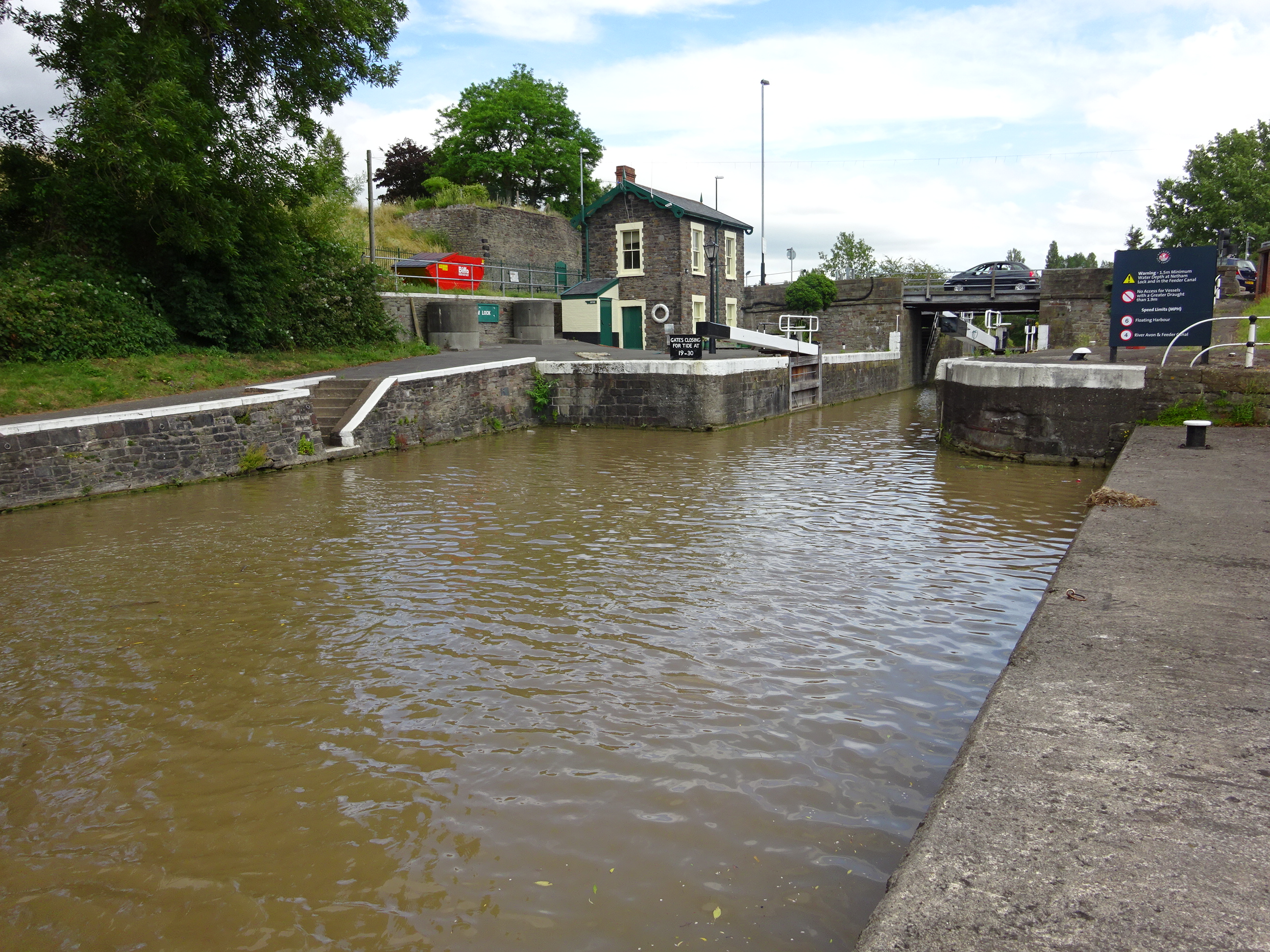 |
| After a slight bend, the Feeder Canal continues in a dead straight line. | 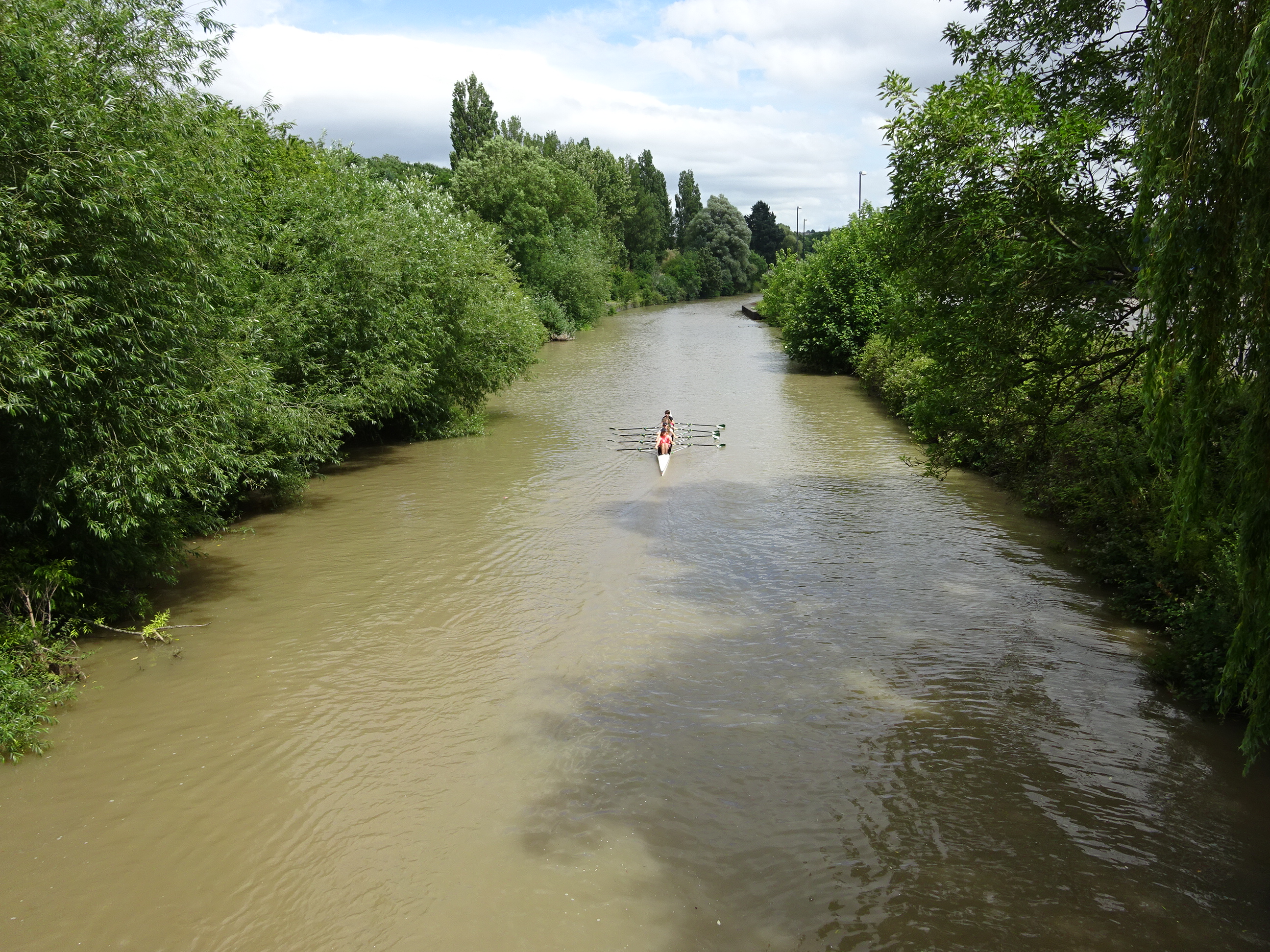 |
| A road bridge crosses the canal at Marsh Lane. | 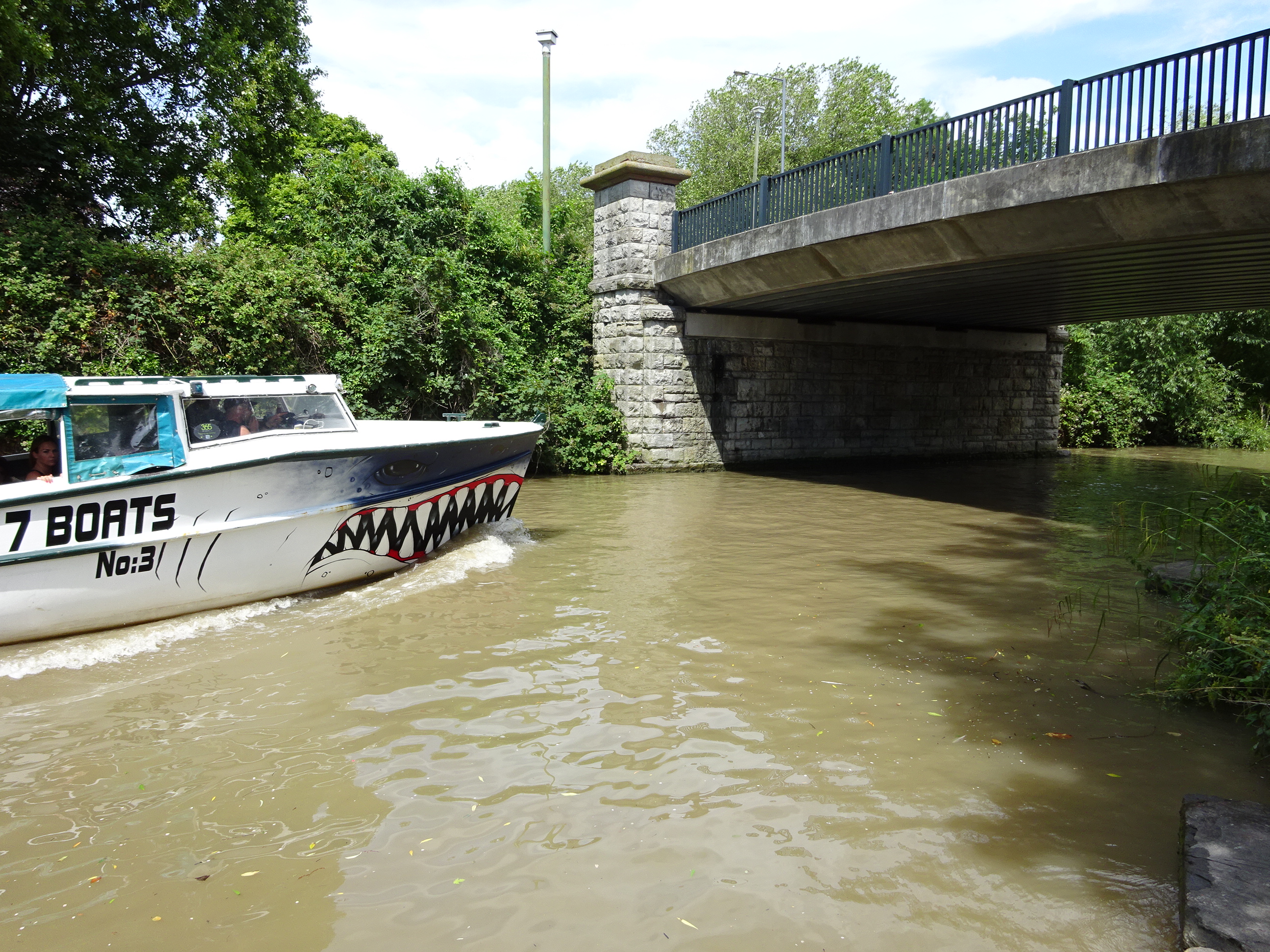 |
| A railway bridge, the A4320 (St Philips Causeway) and some industrial bridges cross the canal here. I'm not sure what the industrial bridges carry - probably pipework. | 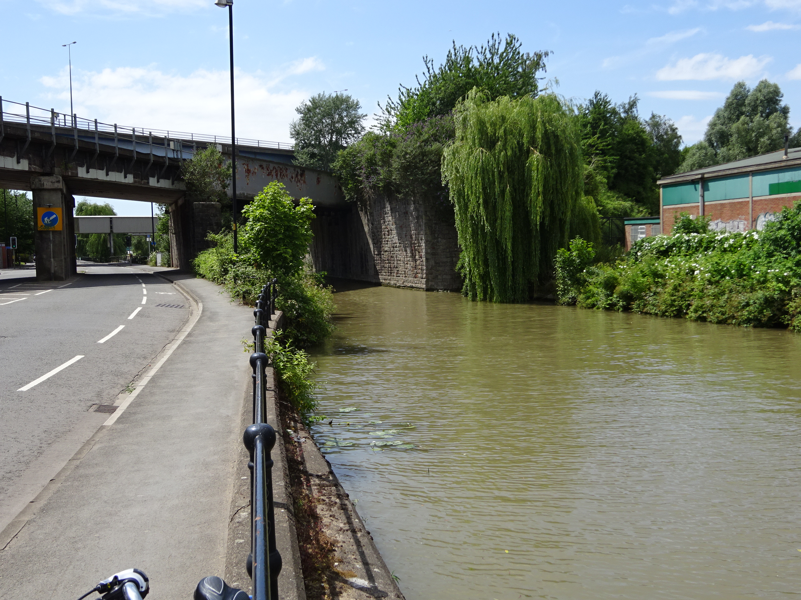 |
| A blue pedestrian bridge carries workers to an industrial estate at Silverthorne Lane. | 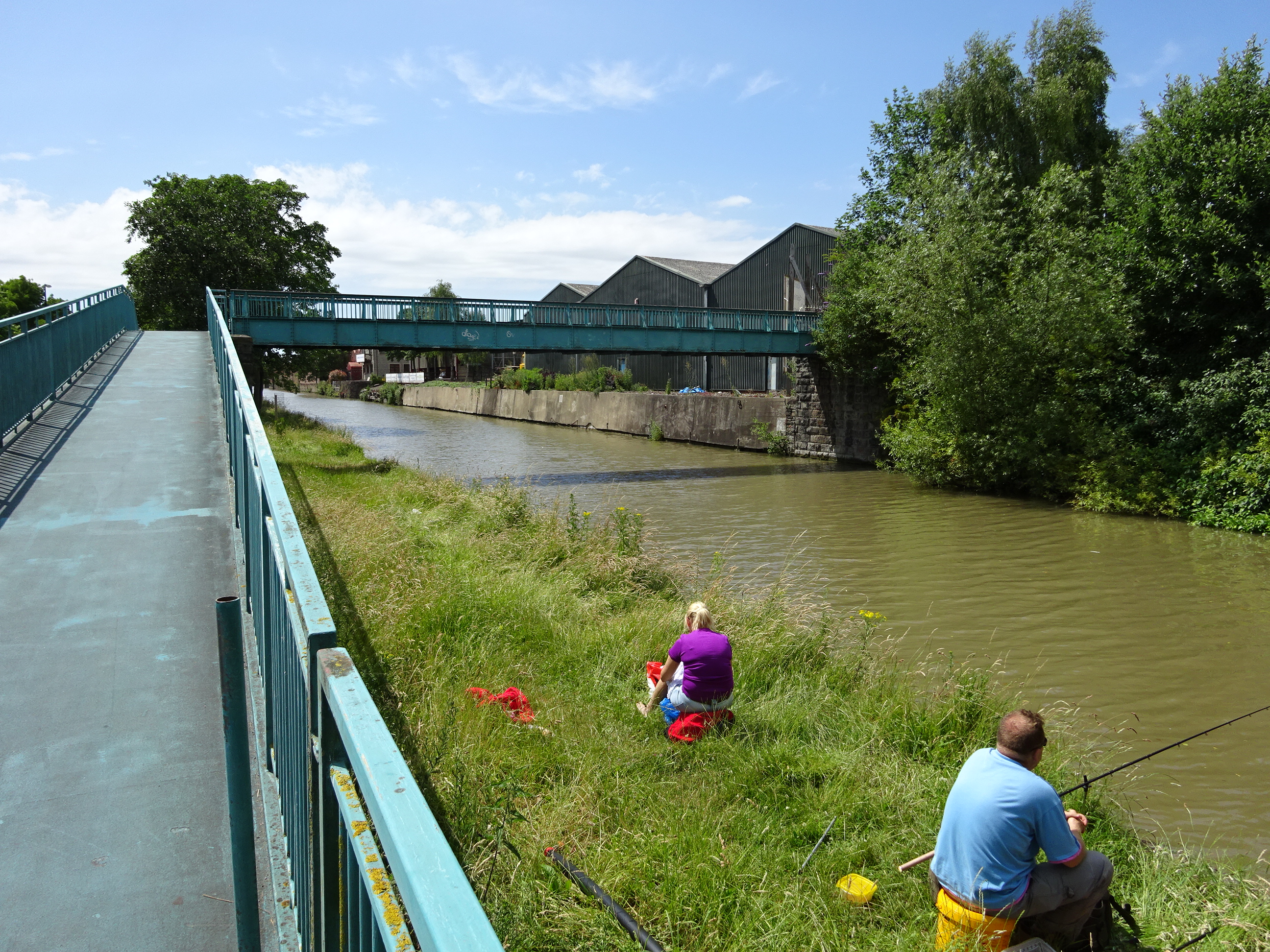 |
| More industrial buildings back on to the canal. | 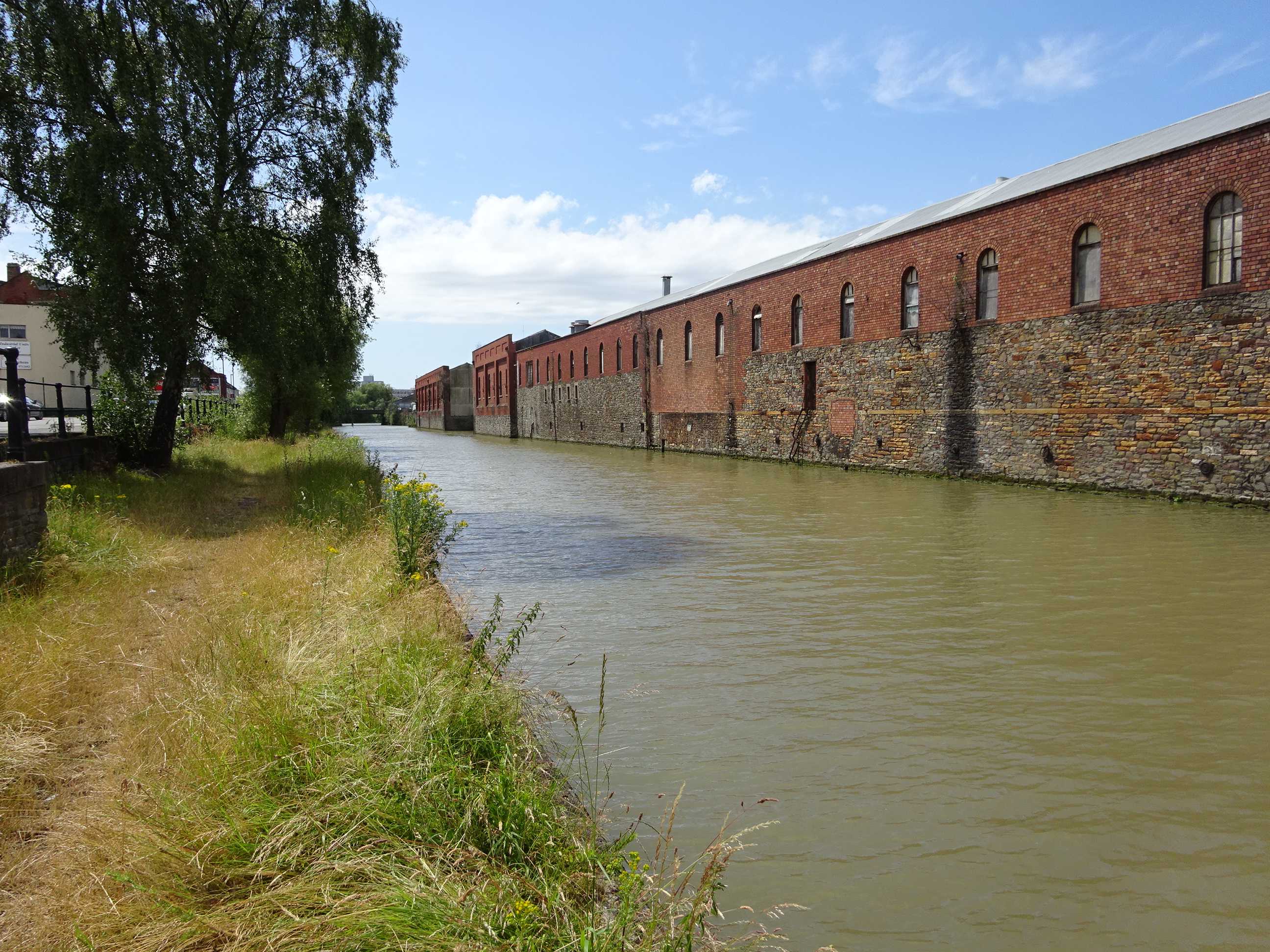 |
| The canal passes under a pair of concrete bridges connecting Albert Road with Avon Street... | 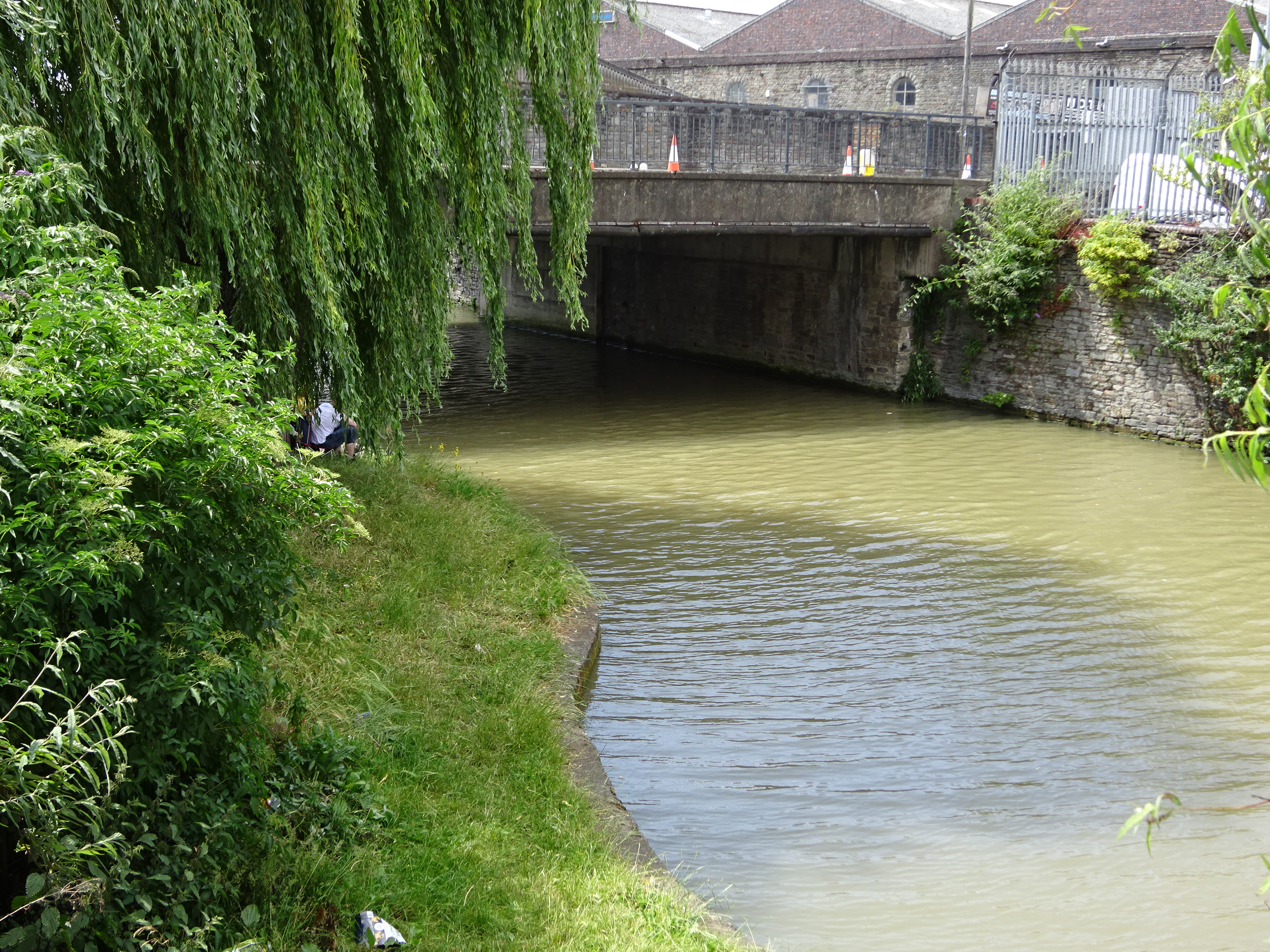 |
| ... and it enters a pool where larger boats may manoeuvre before entering the Floating Harbour. | 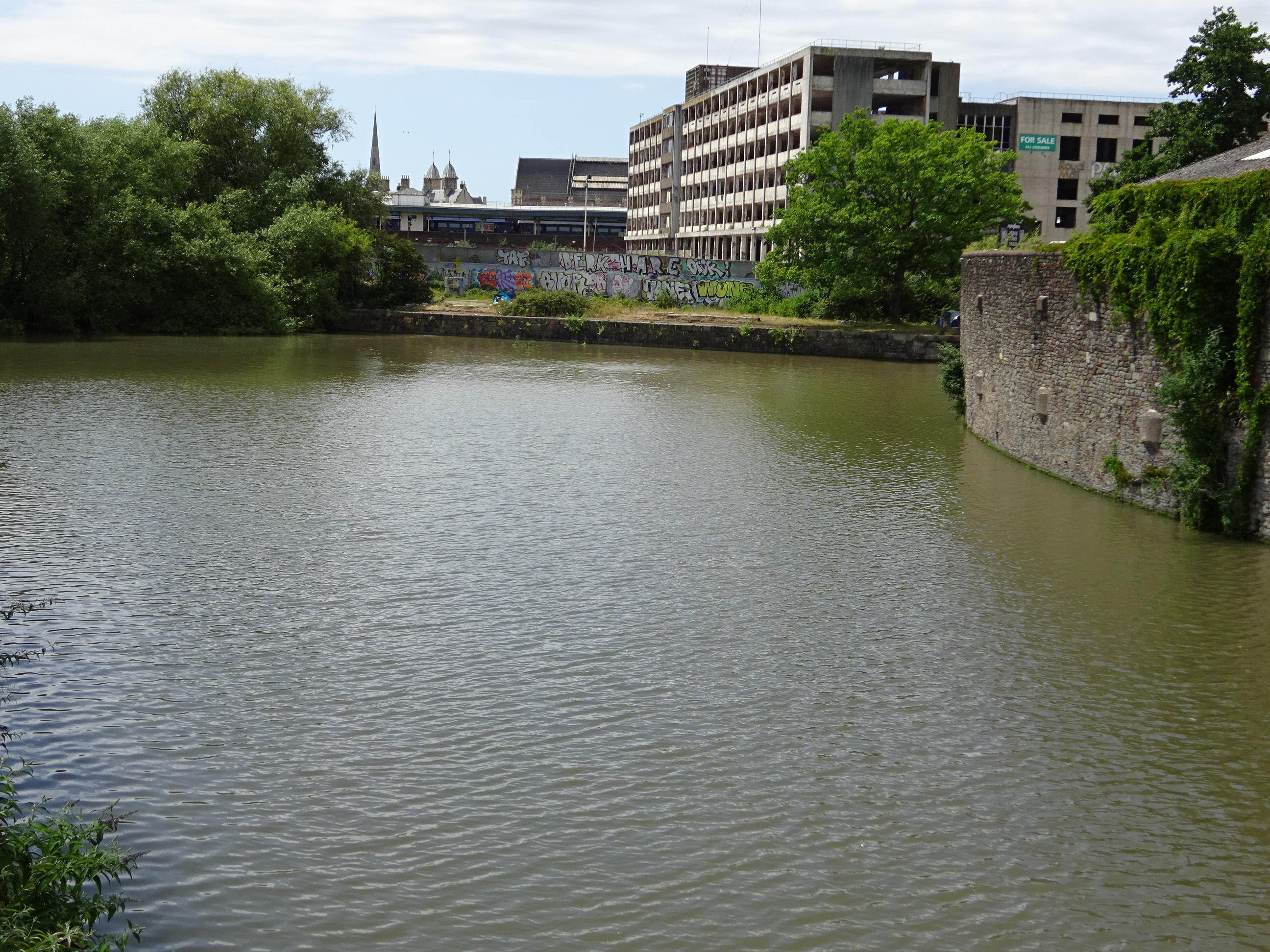 |
| A walk around the Floating Harbour | |
|---|---|
| Almost all of the Floating Harbour may be walked around, on both sides. My walk starts behind Temple Meads railway station where it heads north from the pool at the end of the Feeder Canal, bending to the northwest as it emerges from a tunnel. It is easier to cross to the left bank past Temple Bridge and then cross to the right bank again at St Philip's Bridge. You cross a little bridge over what was the entrance to the moat of Bristol Castle, then skirt Castle Park to Bristol Bridge. There is no waterside path here, so you have to walk down the Welsh Back as far as the Redcliffe Bridge. The harbour bends westward here, and you can walk on the left bank, past Bathurst Basin to Prince Street Bridge. Here you have a choice - clockwise or anticlockwise. I chose clockwise for no obvious reason. You walk past the row of cranes outside M Shed, past the Mathew (replica), past the flats where I live and on to the SS Great Britain (where you make a small inland detour). You then walk through the marina and along to Underfall Yard and the Junction Lock by the Merchants Road bridges. You cross the road and walk through the Nova Scotia carpark and alongside Cumberland Basin, then underneath the massive swingbridge that carries the A3029, then across one of the lock gates to the other side. Here, you turn and walk back along the other side of Cumberland Basin, past the Pump House and across a blue bridge at the entrance of a little, unnamed inlet / marina. The path leads along the harbour past the Mardyke, where the main road now runs parallel with the harbour. Continue on past Capricorn Quay, around a little inlet where the gasworks used to be, along Hanover Quay (diagonal view of the Cathedral), past the Ampitheatre and into St Augustine's Reach (properly the start of the Frome walk). Cross Pero's Bridge, avoiding the beggars, then walk past the Arnolfini and back to Prince Street Bridge. | |
| A small channel leads from the pool at the end of the Feeder Canal | 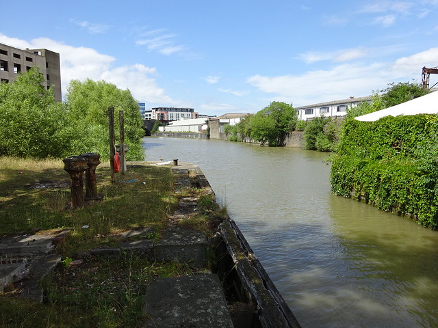 |
| The tunnel under Temple Meads station | 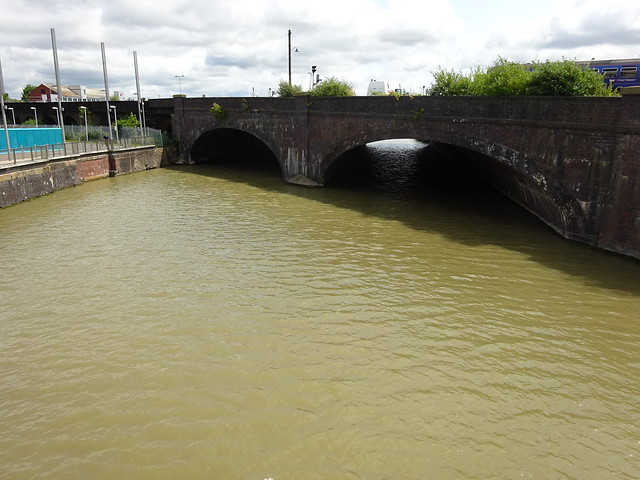 |
| Valentine's Bridge has a pleasant sigmoid shape. | 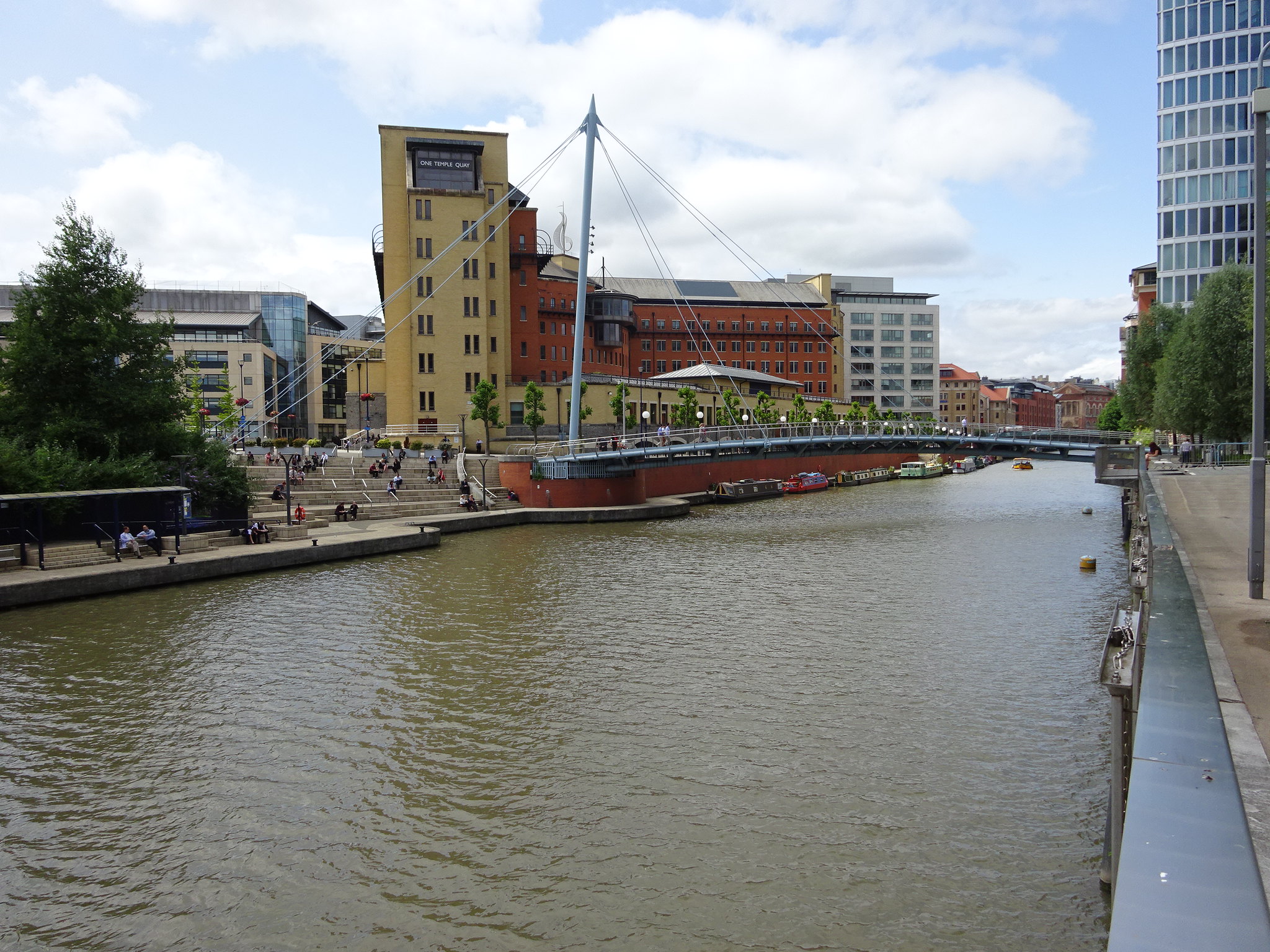 |
| The habour is more "virtute" than "industria" - this stretch has the offices of banks and insurance companies and the like. | 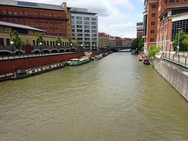 |
| Temple Bridge | 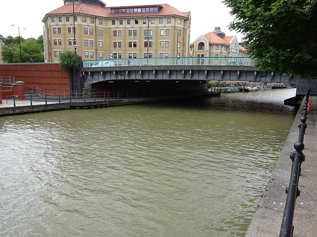 |
| The view back from Temple Bridge | 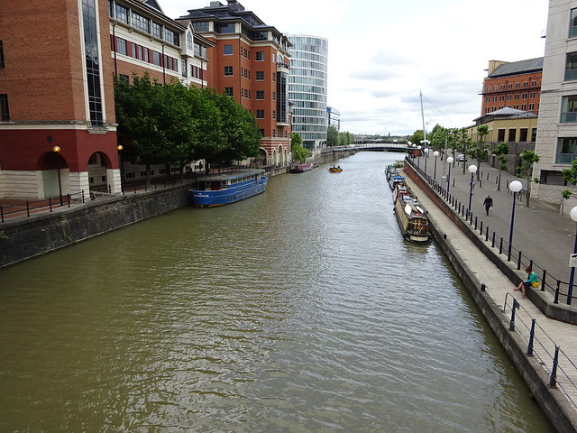 |
| Between Temple Bridge and St Philip's Bridge | 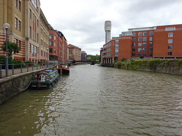 |
| St Philip's Bridge | 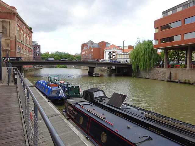 |
| Finzels Reach - between St Philip's Bridge and Castle Park | 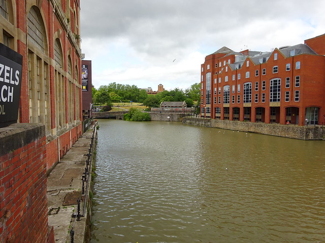 |
| At Kings Orchard a little bridge crosses the inlet leading to the old Watergate. In medieval days there were defensive earthworks here. | 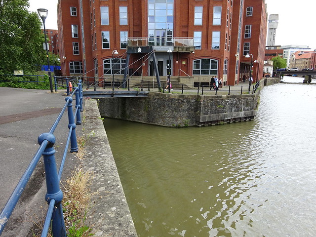 |
| The Watergate leads into the moat of the old castle (the moat is still there, but I don't think you are allowed in). On Bristol's coat of arms, the Watergate is the point where the ship seems to be sailing out of the castle. | 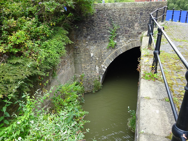 |
| This new bridge has a nice S-shape but doesn't seem to go anywhere. | 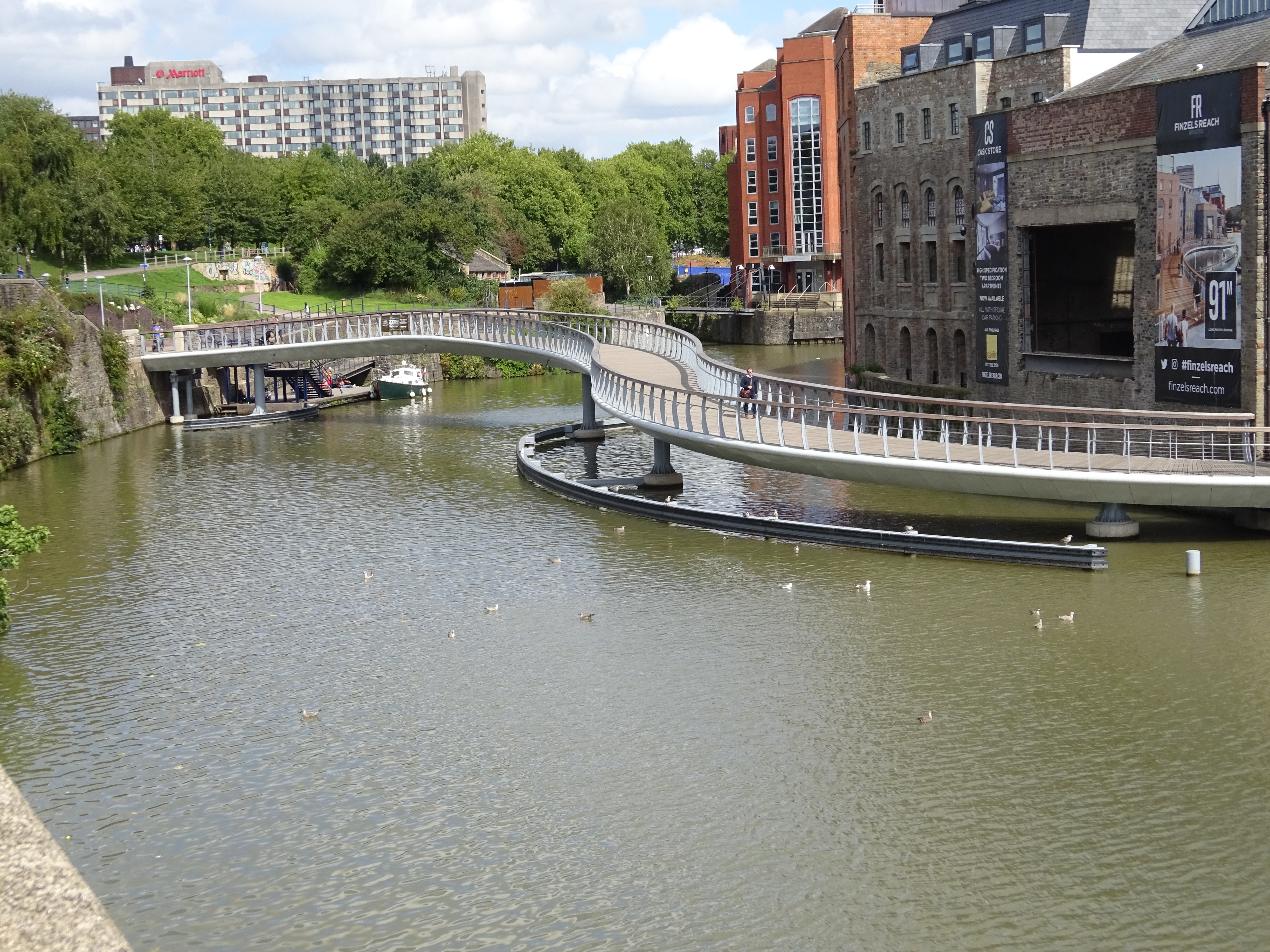 |
| Upstream of Bristol Bridge. The old Georges Brewery opposite has been turned into yuppie flats. | 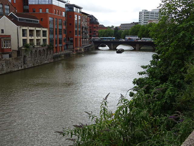 |
| The brickwork of Bristol Bridge has been reinforced with nasty steel. | 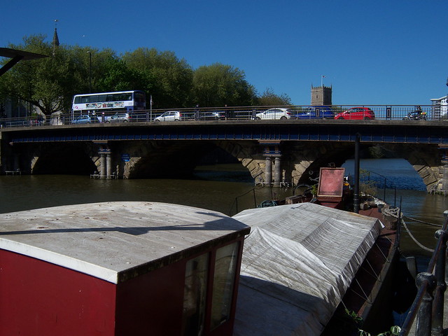 |
| Between Bristol Bridge and Redcliffe Bridge. Welsh Back is on the right. | 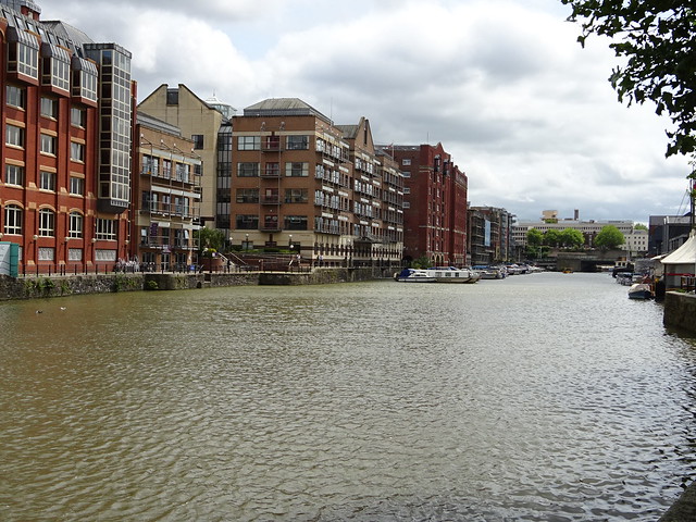 |
| The same stretch viewed from Redcliffe Bridge | 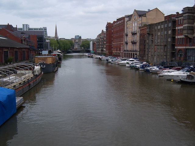 |
| Redcliffe Bridge | 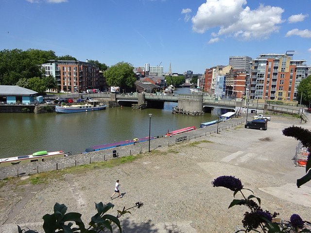 |
| Between Redcliffe Bridge and Prince Street Bridge. The entrance to Bathurst Basin is on the left. | 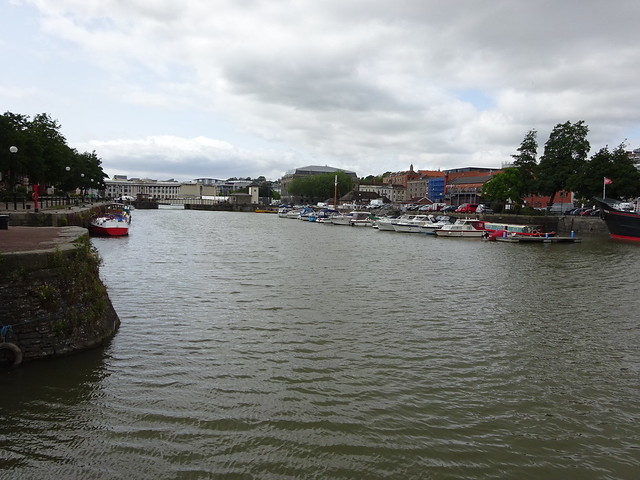 |
| The entrance to Bathurst Basin | 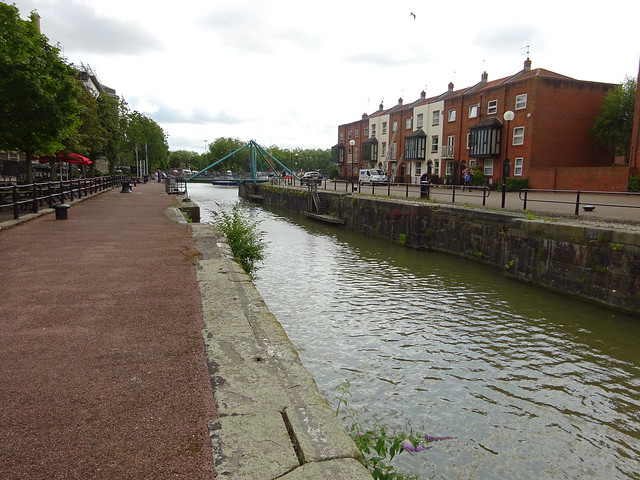 |
| Bathurst Basin used to connect with the New Cut but is now a small marina. | 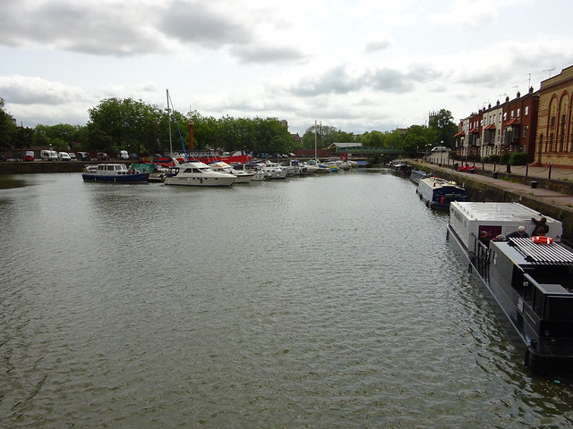 |
| Prince Street Bridge. The little building on the right used to be a chlorination plant (in the time when sewage was emptied directly into the Floating Harbour). | 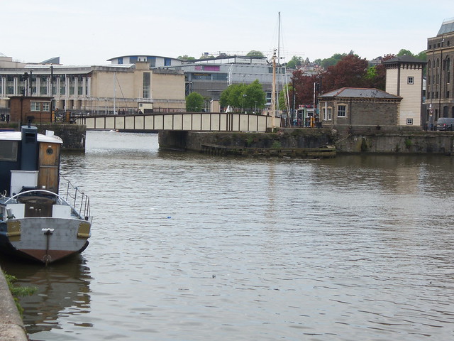 |
| Downstream of Prince Street Bridge. The bridge has been swung open to allow a tourist boat through. The mv Balmoral is moored on the right. | 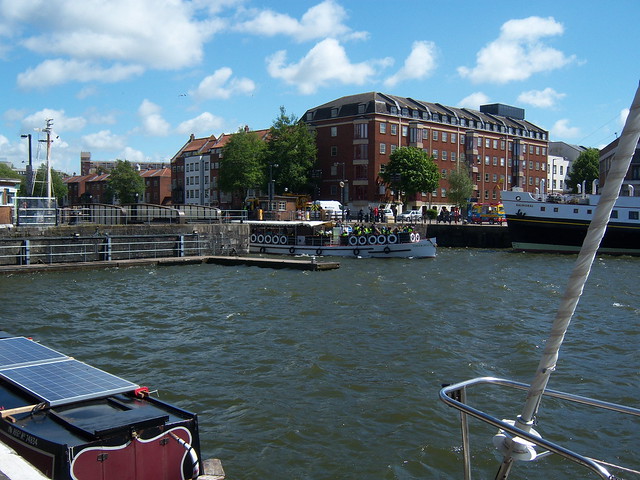 |
| The Fairbairn Steam Crane (built in 1878), with the row of electric cranes outside the M Shed behind; the line of the Harbour Railway also evident. The crane still works and is open to the public sometimes. | 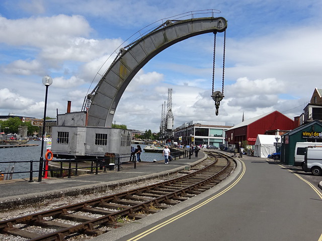 |
| The flats where I live | 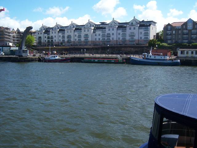 |
| Brunel's SS Great Britain sits in its own dry dock. | 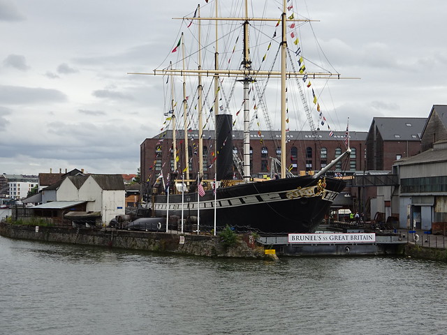 |
| The Marina | 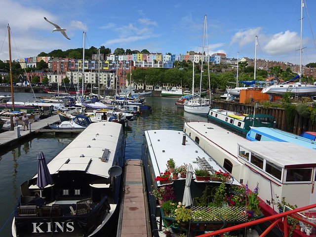 |
| Modern sculpture ... | 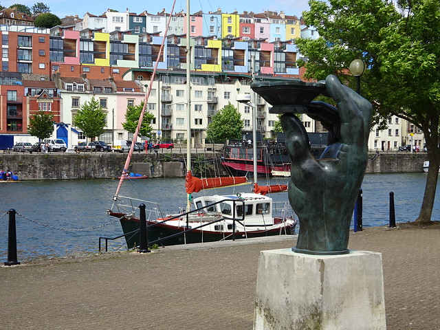 |
| ... by modern flats. |  |
| At the site of the Great Britain you are forced away from the harbour. A path leads past this dry dock towards Underfall Yard (you can walk through it). | 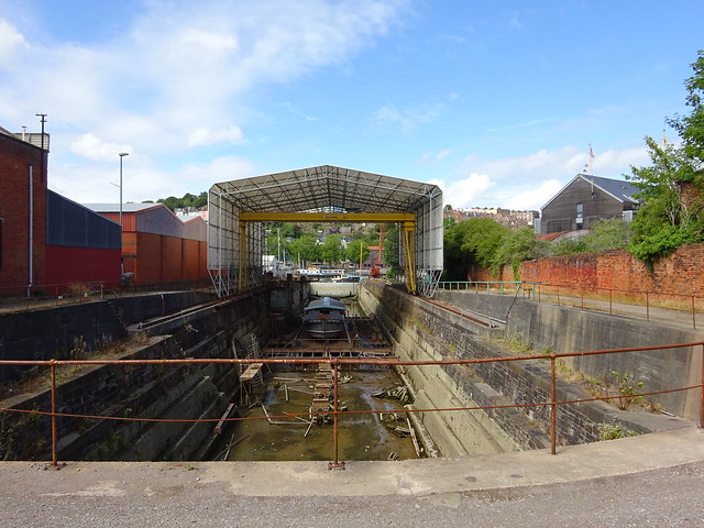 |
| The original lock at Cumberland Basin | 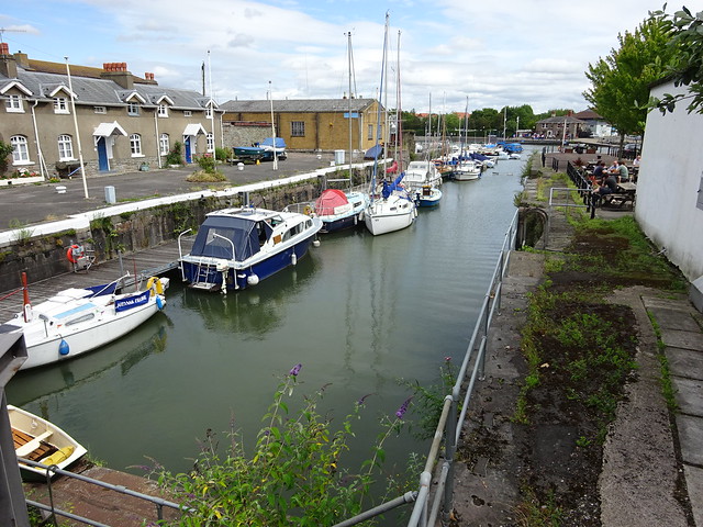 |
| The broad expanse of Cumberland Basin itself | 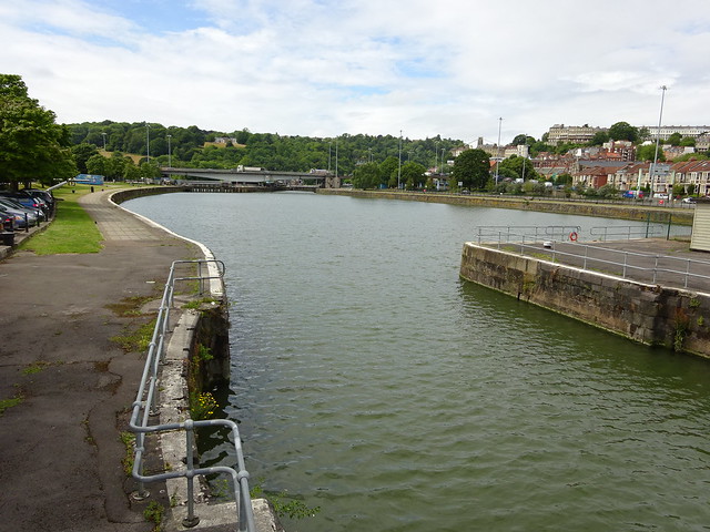 |
| The massive swing bridge | 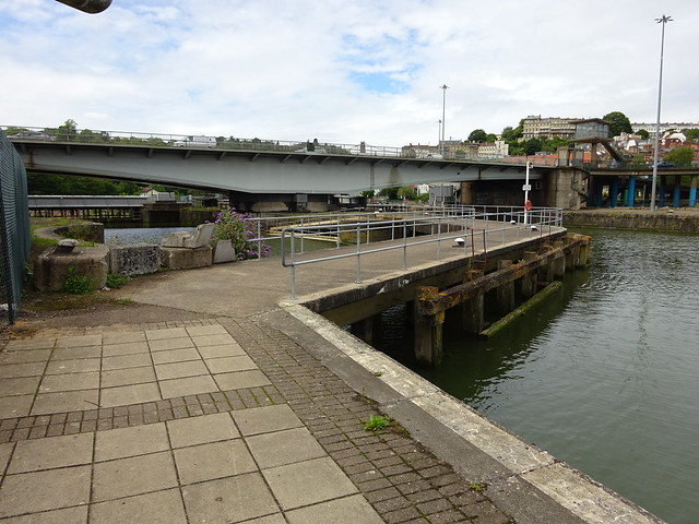 |
| Brunel's original swing bridge ... | 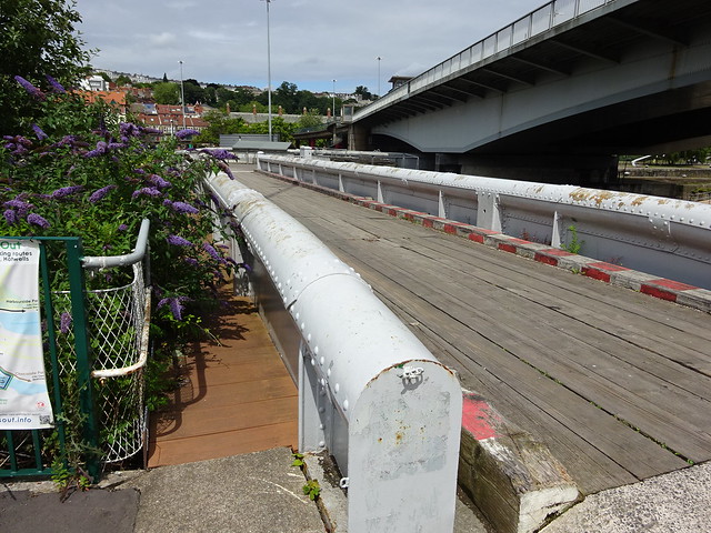 |
| ... was constructed from curved steel for greater strength. | 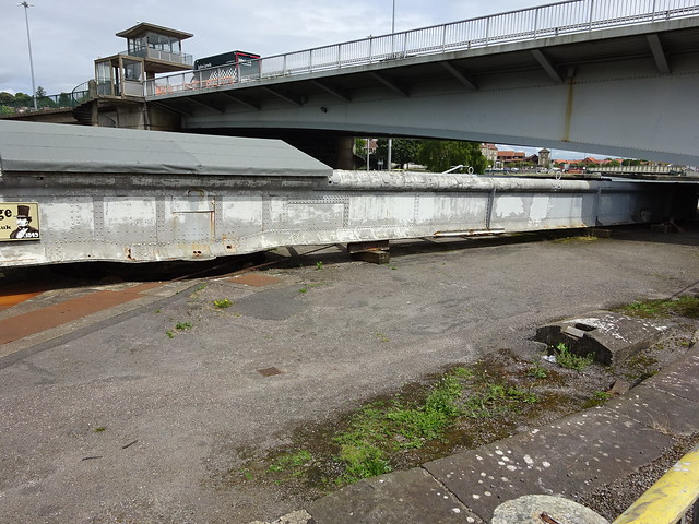 |
| Cross over the lock gates to return on the far side. | 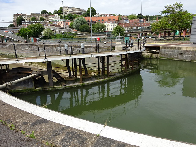 |
| From the lock gates you can see the more modern Entrance Lock. | 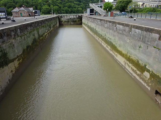 |
| Walk back along the other side of Cumberland Basin. | 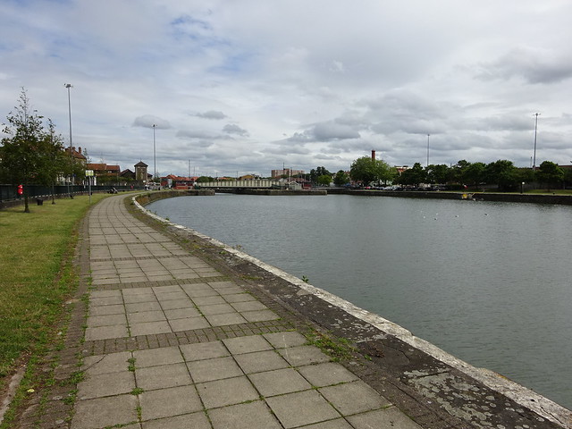 |
| The old lock next to the Pump House | 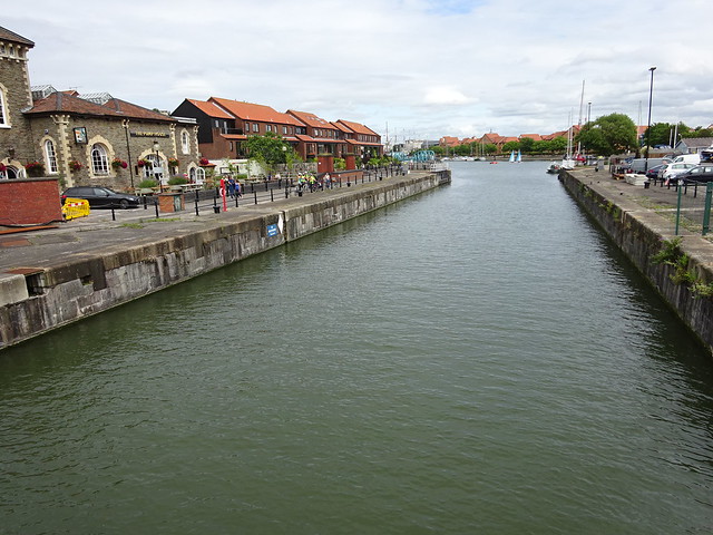 |
| Pooles Wharf Marina ... | 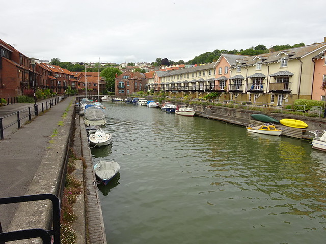 |
| ... has a distinctive blue footbridge. | 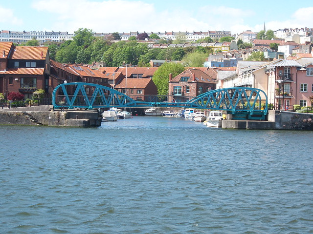 |
| A little inlet marks the site of the old gasworks. | 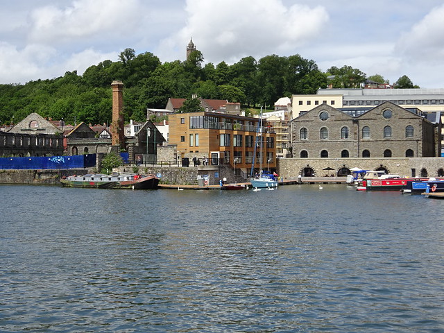 |
| A diagonal gap between modern flats gives you a view of the Cathedral. |  |
| Rock concerts and similar noisy gatherings are held in the Ampitheatre. |  |
| St Augustine's Reach marks the point where the River Frome enters the harbour. | 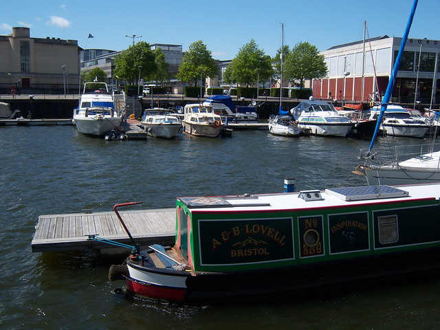 |
| Pero's Bridge is named for a slave who lived in Bristol. | 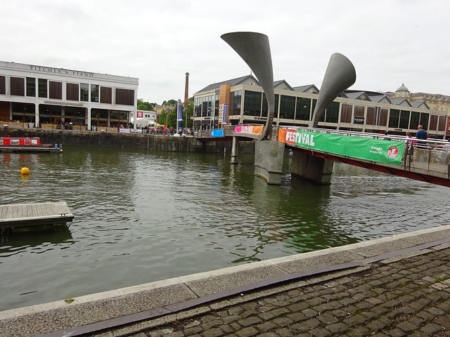 |
| The view from Pero's Bridge up towards The Centre | 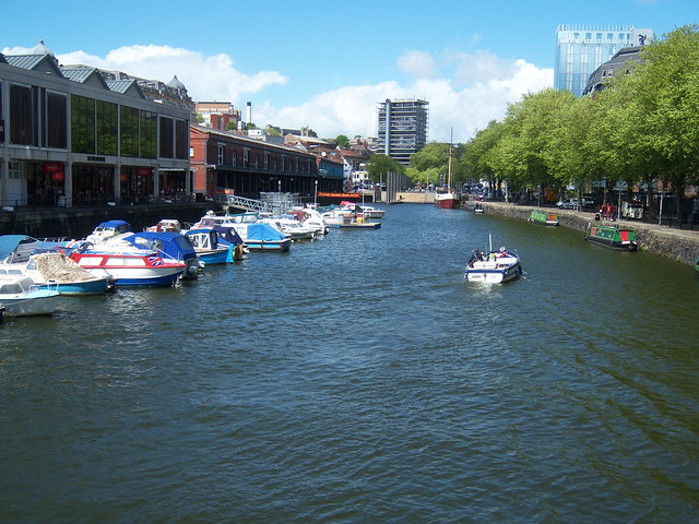 |
| From Pero's Bridge walk round the corner of the Arnolfini gallery, past the status of Cabot and you are back to Prince Street Bridge. I hope you had a nice walk. |  |
The River Malago rises in the northern slopes of Dundry hill and flows through south Bristol, often in culverts, until it joins the Avon New Cut just downstream of Bedminster Bridge.
| A walk up the River Malago | |
|---|---|
| The Malago is a very difficult river to follow. At its lower end, it flows underground beneath Bedminster. Near its source, it splits into several small streams that are difficult to locate. In the middle, it is mostly hidden by vegetation, either urban or rural. This walk, which is really three walks separated by invisible sections, starts in Bedminster and goes upstream in search of its source. | |
| The natural course of the Malago ends here, as it flows into the Avon New Cut, more or less opposite God's Garden. | 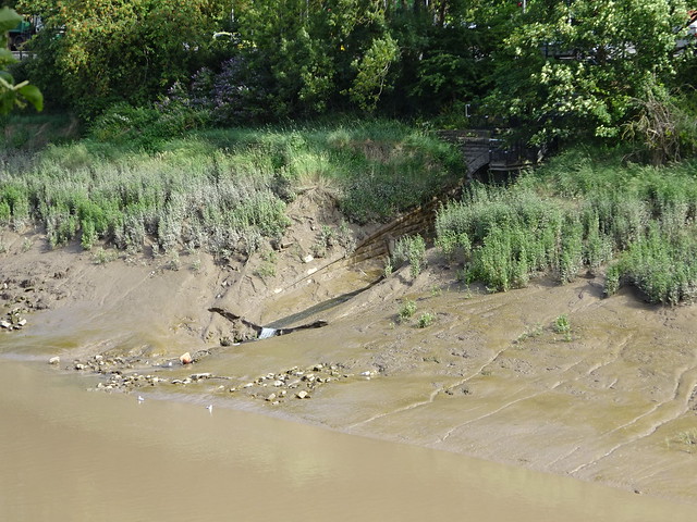 |
| We see it properly for the first time behind Clarke Street in Bedminster - note the urban vegetation. | 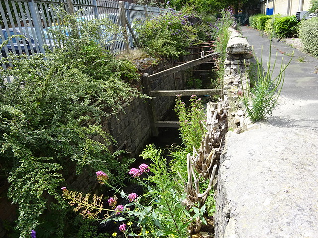 |
| As it turns a corner this mechanism is visible. I'm not too sure exactly what it is - some sort of control mechanism. | 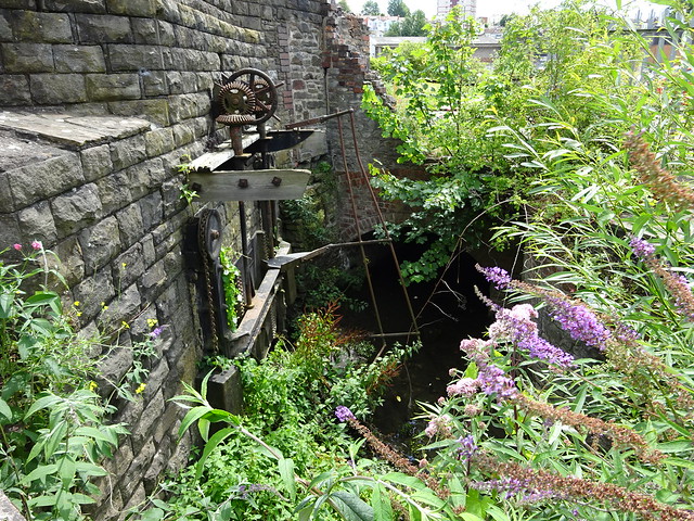 |
| It flows due south alongside a footpath that connects the two ends of Clarke Street | 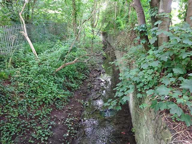 |
| It gets a bit confusing here, disappearing behind commercial buildings and the railway. | |
| As it prepares to cross St John's Lane, we glimpse it down here, under some sort of structure. |  |
| It follows a footpath between Bedminster Road and Marksbury Road (not that you can always see it). | 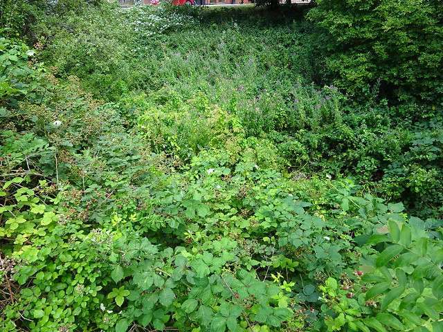 |
| But sometimes you get a glimpse. | 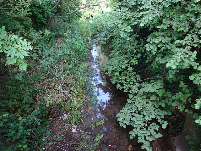 |
| Now it heads towards Parson Street. | 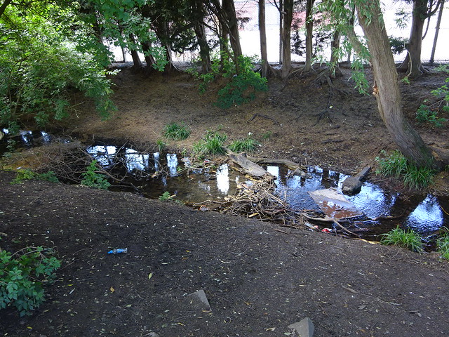 |
| Beyond Parson Street it meets up with a tributary, the Pigeonhouse Stream, somewhere behind a car rental company and the old fire station. | |
| This little lake is part of the Pigeonhouse Stream in Hengrove. | |
| It then crosses Hartcliffe Way and emerges here... | 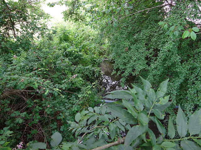 |
| ... as it leaves the Manor Woods Valley ... | 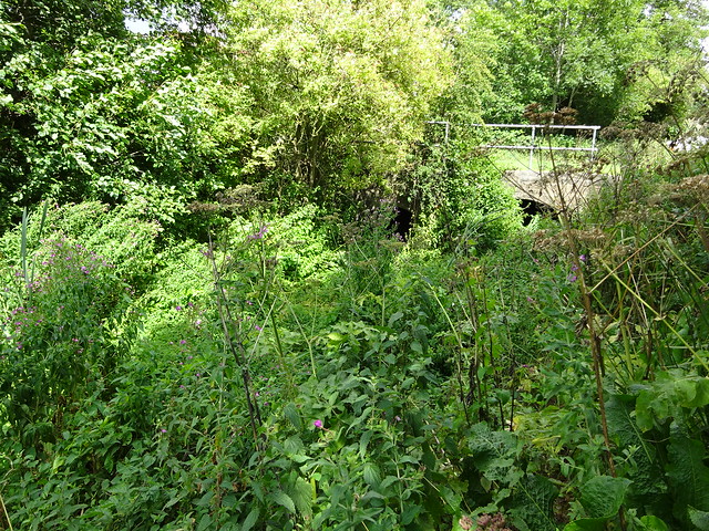 |
| ... where it has flowed beneath this valley. | 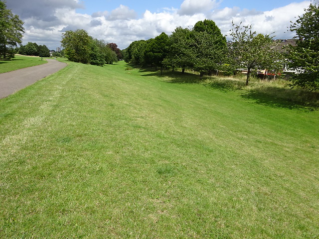 |
| At the top of a small lake is the Malago Interceptor. Just like the one on the Frome, it takes away most of the flow, and diverts it underground, through Southville where it empties into the Avon New Cut (just downstream from my flat). This is its entrance - the dam is probably not made by beavers. | 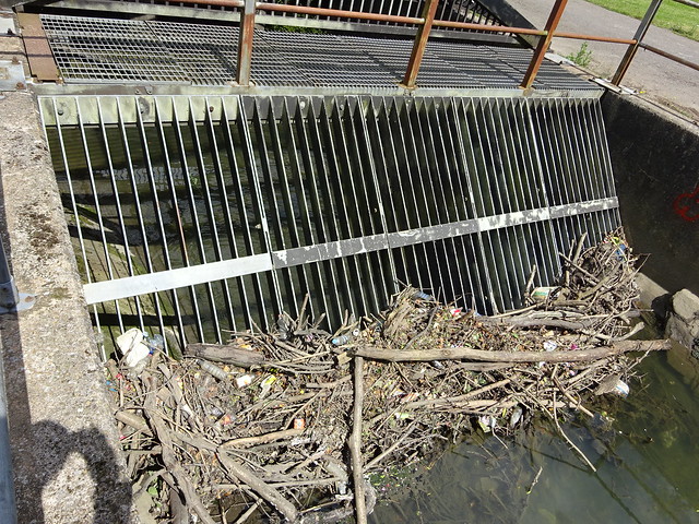 |
| The volume of water flowing upstream of the Interceptor is much greater than through Bedminster. | 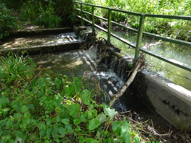 |
| In the upstream part of Manor Woods Valley the river is actually visible in places. | 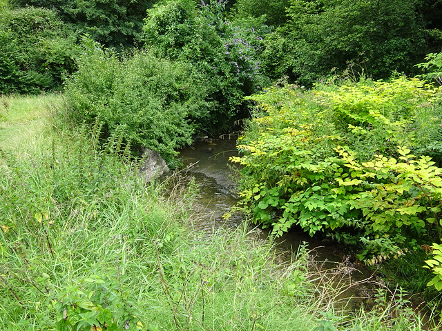 |
| Through Bishopsworth it flows either underground or behind people's gardens and is dificult to follow. Also, about here, is where it is formed by the merger of several smaller streams. | |
| The main stream may be glimpsed in Withywood, just above Four Acres... | 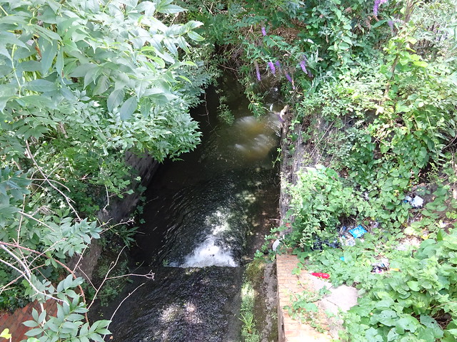 |
| ... where it flows through impenetrable woods. (Honestly, it's in there somewhere.) | 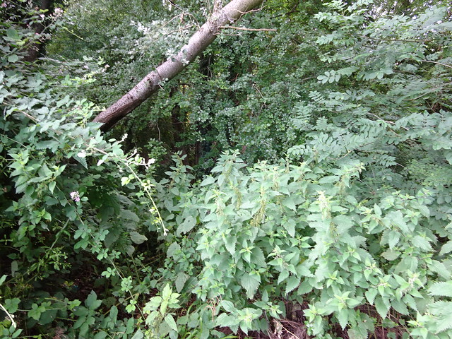 |
| At times you get glimpses... | 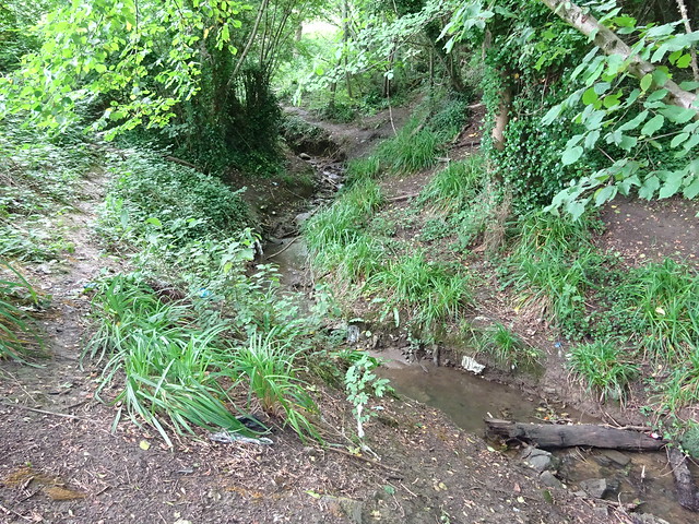 |
| ... and there are even attempts at a proper path at times. | 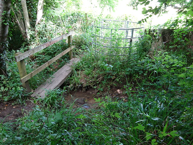 |
| The parts of the river that are visible, are difficult to get to, especially if you have't put your walking boots on. | 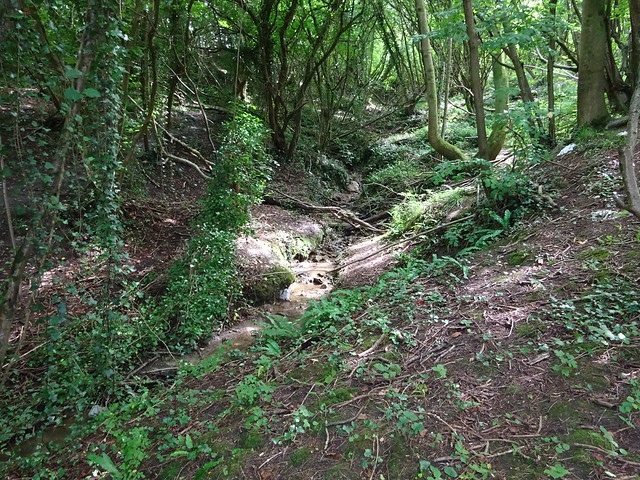 |
| Acording to the map, the stream crosses Oxlease Lane about here (east of Highridge Farm). Of course, it could just be rainwater. |  |
| Just here, the main stream comes down from near Dundry. The farmer has tidied it up, presumably to stop it flooding his field. Without proper boots, I didn't venture any further - I shall return and see if I can actually find the source. | 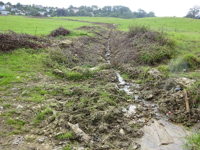 |
The rather short River Trym rises near Filton and flows, sometimes underground, to meet the Avon at Sea Mills.
| A walk up the River Trym | |
|---|---|
| Awaiting text | |
| Awaiting images | here. |
The Markham Brook rises near Failand and joins the Avon at Pill ("pill" being a West-Country word for a brook or stream).
The River Chew rises in the Mendips and joins the Avon at Keynsham (just outside my remit).
| The Scour | |
|---|---|
| From its earliest days, the Floating Harbour had a tendency to fill with silt - it not being cleaned out by the tides twice a day. Brunel's invention of the "underfall" sluice at Underfall Yard helps, but these days we rely on a scouring action about twice a month. At low tide, lock gates are opened at Netham Lock and at Cumberland Basin; the resulting speeding water carries away silt and debris. | |
| Cumberland Basin is emptied of water. Then sluices at the bottom of its upper lock gates are opened. | 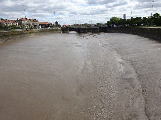 |
| A strong current builds up down the middle of the basin. Short video here. | 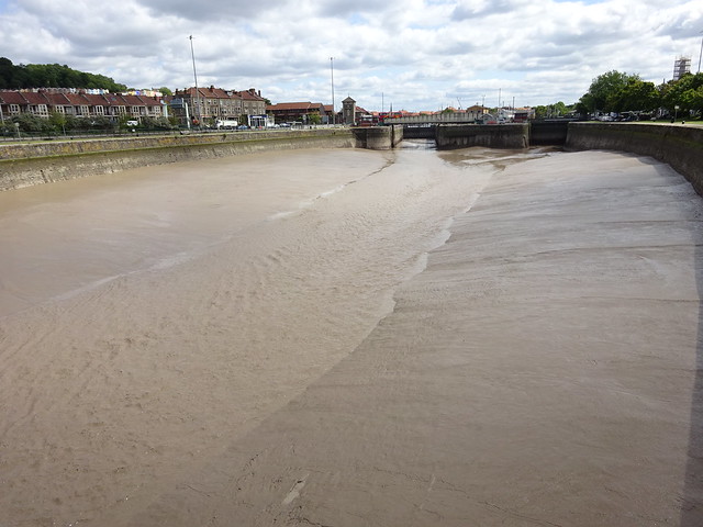 |
| Up at the old lock gate, a violent churning of mud ensues. Short video here. | 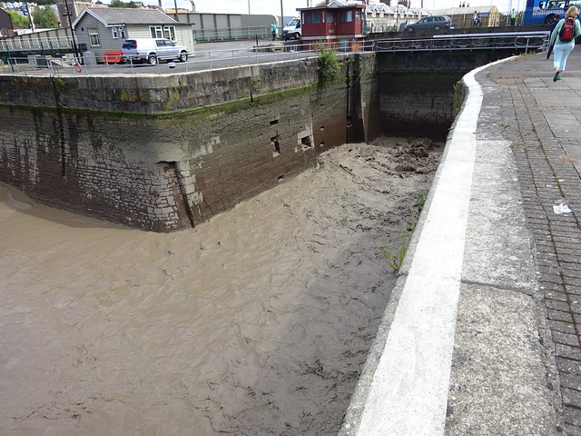 |
| In the floating harbour there is a noticeable drop in the water level (and a noticeable current under Prince Street Bridge) | 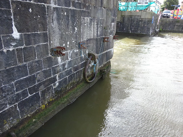 |